Marker Logo HMdb.org THE HISTORICAL
MARKER DATABASE
“Bite-Size Bits of Local, National, and Global History”
Sanford in Seminole County, Florida — The American South (South Atlantic)
 

Marina Isle


Marina Isle Marker image. Click for full size.
Photographed By AGS Media, December 30, 2011
1. Marina Isle Marker
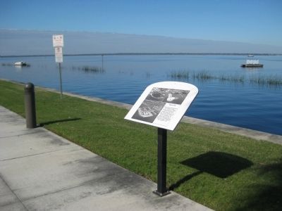
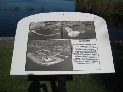
Inscription. Marina Isle was designated by the City of Sanford in 1964 to improve the boat basin created by Memorial Park and the Palmetto Avenue Jetty. The 13 acre, $2 million dollar island was built with fill pumped from the bottom of Lake Monroe. The design included boat slips, a motel, and a dry storage building. Construction began in 1966 and was completed in 1967.
 
Topics. This historical marker is listed in these topic lists: Industry & CommerceWaterways & Vessels. A significant historical year for this entry is 1964.
 
Location. 28° 48.981′ N, 81° 15.863′ W. Marker is in Sanford, Florida, in Seminole County. Marker can be reached from North Palmetto Avenue. The marker stands along the broad, northern edge of Marina Isle/Island, on a public sidewalk overlooking Lake Monroe. From where North Palmetto Avenue ends, follow the sidewalk which continues north, then turn right (east) upon reaching the lake. Touch for map. Marker is in this post office area: Sanford FL 32771, United States of America. Touch for directions.
 
Other nearby markers. At least 8 other markers are within walking distance of this marker. St. Johns River and Lake Monroe (within shouting distance of this marker); Steamboats (approx. 0.2 miles away); Sanford Est. 1877 (approx. 0.2 miles away); Citrus to Celery (approx. 0.2 miles away); a different marker also named Sanford Est. 1877
Paid Advertisement
Click on the ad for more information.
Please report objectionable advertising to the Editor.
Click or scan to see
this page online
(approx. 0.2 miles away); a different marker also named Sanford Est. 1877 (approx. ¼ mile away); World War II (approx. ¼ mile away); City of Sanford World War Memorial (approx. ¼ mile away). Touch for a list and map of all markers in Sanford.
 
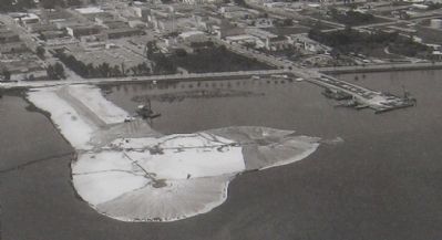
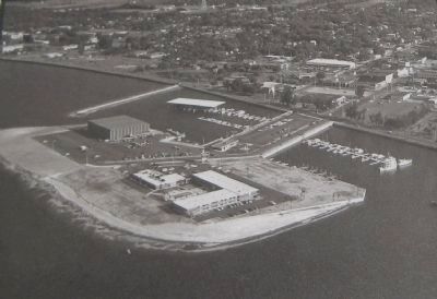
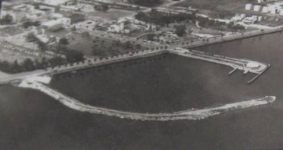
More about this marker. The marker includes three aerial photos showing different phases of the island's construction.
 
Marina Isle Marker image. Click for full size.
Photographed By AGS Media, December 30, 2011
2. Marina Isle Marker
Early stages of land formation
Marina Isle Marker image. Click for full size.
Photographed By AGS Media, December 30, 2011
3. Marina Isle Marker
The island begins to take shape.
Marina Isle Marker image. Click for full size.
Photographed By AGS Media, December 30, 2011
4. Marina Isle Marker
Marina Isle around the time of its completion
Marina Isle Marker image. Click for full size.
Photographed By AGS Media, December 30, 2011
5. Marina Isle Marker
Mainland view of Marina Isle image. Click for full size.
Photographed By AGS Media, December 30, 2011
6. Mainland view of Marina Isle
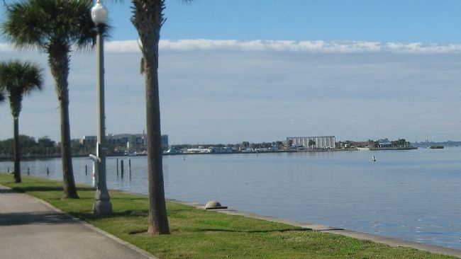
Seen looking west from the Sanford Riverwalk, Marina Island extends out into Lake Monroe.
Entrance to Marina Island image. Click for full size.
Photographed By AGS Media, December 30, 2011
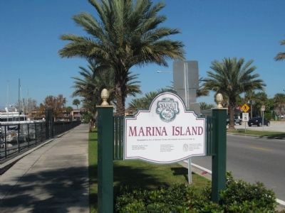
7. Entrance to Marina Island
This sign appears along North Palmetto Avenue as it extends past the natural shoreline onto the man-made island.
 
 
Credits. This page was last revised on August 20, 2020. It was originally submitted on May 14, 2012, by Glenn Sheffield of Tampa, Florida. This page has been viewed 593 times since then and 39 times this year. Photos:   1, 2, 3, 4, 5, 6, 7. submitted on May 14, 2012, by Glenn Sheffield of Tampa, Florida. • Craig Swain was the editor who published this page.
Share this page.  
Share on Tumblr
m=55355

CeraNet Cloud Computing sponsors the Historical Marker Database.
This website earns income from purchases you make after using our links to Amazon.com. We appreciate your support.
Paid Advertisement
Apr. 19, 2024