O'Hare in Chicago in Cook County, Illinois — The American Midwest (Great Lakes)
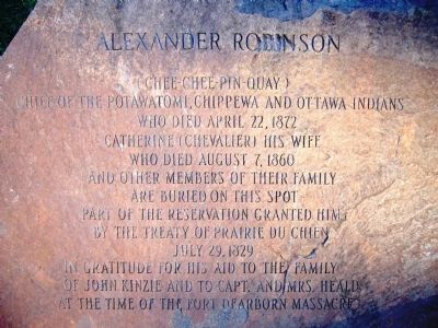
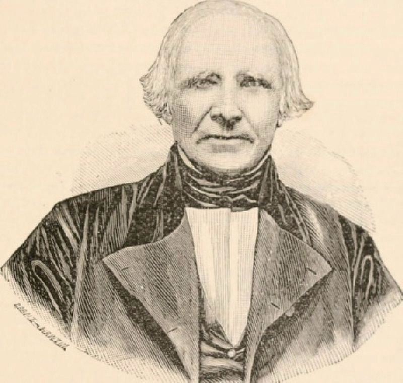
Alexander Robinson
Chief of the Potawatomi, Chippewa, and Ottawa Indians
Who died April 22, 1872
Catherine (Chevalier) his wife
who died August 7, 1860
and other members of their family
are buried on this spot -
Part of the Reservation granted him
By the Treaty of Prairie Du Chien
July 29, 1829
In gratitude for his aid to the family
of John Kinzie and to Capt. and Mrs. Heald
at the time of the Fort Dearborn Massacre
Topics. This historical marker is listed in this topic list: Native Americans. A significant historical month for this entry is April 1880.
Location. 41° 58.062′ N, 87° 50.835′ W. Marker is in Chicago, Illinois, in Cook County. It is in O'Hare. Marker can be reached from East River Road, 0.1 miles north of West Lawerence Avenue. Marker is about 100 feet down a small path on the west side of East River Road. Touch for map. Marker is in this post office area: Harwood Heights IL 60706, United States of America. Touch for directions.
Other nearby markers. At least 8 other markers are within 2 miles of this marker, measured as the crow flies. 9/11 Memorial (approx. 1.3 miles away); Schiller Park Military Service Wall of Honor (approx. 1.3 miles away); Veterans Memorial (approx. 1.3 miles away); Memorial Walkway (approx. 1.3 miles away); Former Site of Soo Line Hotel (approx. 1.4 miles away); Horse-Shoe Inn (approx. 1.4 miles away); Former Site of Eden Inn (approx. 1˝ miles away); Burial Site of Josette Beaubien (approx. 1.8 miles away). Touch for a list and map of all markers in Chicago.
Regarding Alexander Robinson. Robinson was instrumental in negotiating the 1812 Treaty of St. Louis and the 1829 Treaty of Prairie du Chien. For his services, he was given a tract of land along the Des Plaines River from roughly Cumberland Ave. to Ruby St. and from roughly Addison St. to Higgins Road. His last days were spent on his reserve east of River Road and north of Lawrence Ave. He died there and is buried in a family plot north of Lawrence Ave. along East River Road.
Also see . . . Alexander Robinson (chief). Wikipedia entry. (Submitted on November 7, 2020, by Larry Gertner of New York, New York.)
Credits. This page was last revised on January 30, 2023. It was originally submitted on May 18, 2012, by Bill Kirchner of Tucson, Arizona. This page has been viewed 2,358 times since then and 83 times this year. Photos: 1, 2. submitted on May 18, 2012, by Bill Kirchner of Tucson, Arizona. 3. submitted on November 7, 2020, by Larry Gertner of New York, New York. • Bill Pfingsten was the editor who published this page.


