Falls Church, Virginia — The American South (Mid-Atlantic)
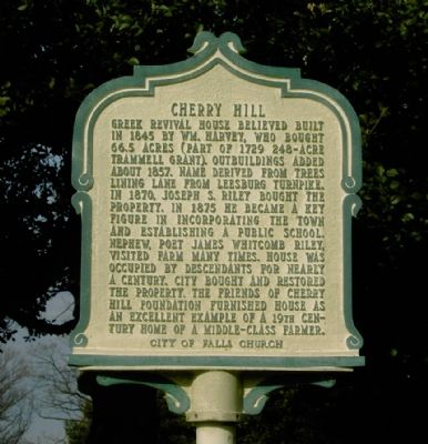
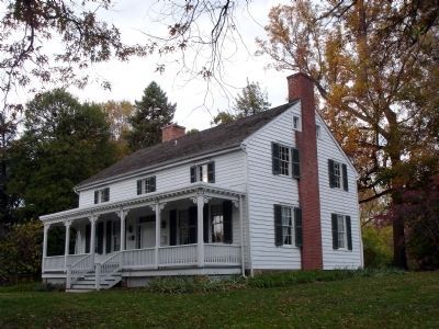
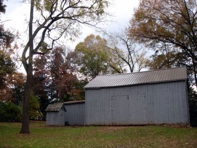
Cherry Hill
Erected by City of Falls Church.
Topics and series. This historical marker is listed in these topic lists: Agriculture • Architecture. In addition, it is included in the Virginia, City of Falls Church series list. A significant historical year for this entry is 1845.
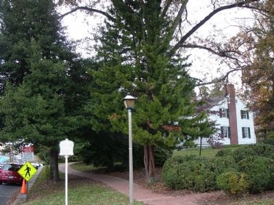
Location. 38° 53.14′ N, 77° 10.424′ W. Marker is in Falls Church, Virginia. Marker is on Park Avenue east of North Virginia Avenue, on the right when traveling west. Touch for map. Marker is at or near this postal address: 312 Park Avenue, Falls Church VA 22046, United States of America. Touch for directions.
Other nearby markers. At least 5 other markers are within walking distance of this marker. Falls Church Home Front (within shouting distance of this marker); George Mason (about 300 feet away, measured in a direct line); Virginia Training School (about 500 feet away); Hangman's Tree (about 500 feet away); Iraq War Memorial (about 500 feet away). Touch for a list and map of all markers in Falls Church.
Related marker. Click here for another marker that is related to this marker. To better understand the relationship, study each marker in the order shown.
Also see . . .
1. Cherry Hill Farmhouse. Photographs of Cherry Hill (Submitted on September 29, 2006.)
2. Cherry Hill, 312 Park Avenue, Falls Church, VA. Three exterior and six interior photographs, taken in 1967, of Cherry Hill from the Library of Congress, Historic American Buildings Survey. (Submitted on September 20, 2007, by Kevin W. of Stafford, Virginia.)
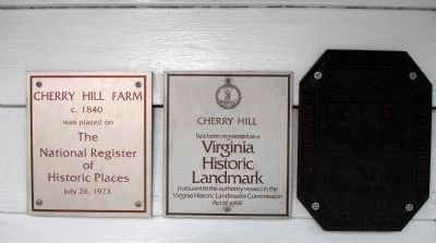
3. Cherry Hill (John Mills House). National Register of Historic Places - Nomination Form (Submitted on November 6, 2010.)
Credits. This page was last revised on August 10, 2020. It was originally submitted on September 29, 2006, by Roger Dean Meyer of Yankton, South Dakota. This page has been viewed 2,751 times since then and 34 times this year. Photos: 1. submitted on September 29, 2006, by Roger Dean Meyer of Yankton, South Dakota. 2, 3, 4, 5. submitted on November 6, 2010. • J. J. Prats was the editor who published this page.
