Covington in Kenton County, Kentucky — The American South (East South Central)
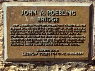
John A. Roebling Bridge
Erected 1984 by American Society of Civil Engineers.
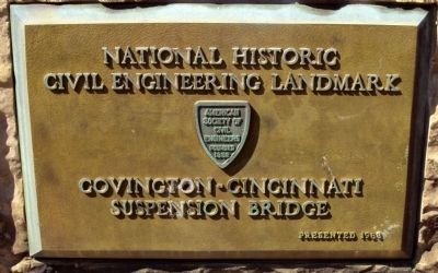
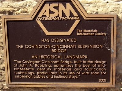
Topics and series. This historical marker is listed in this topic list: Bridges & Viaducts. In addition, it is included in the ASCE Civil Engineering Landmarks, and the ASM International Historical Landmarks series lists. A significant historical month for this entry is June 1903.
Location. 39° 5.42′ N, 84° 30.548′ W. Marker is in Covington, Kentucky, in Kenton County. Marker is on Court Avenue (Kentucky Route 17) 0.1 miles north of East 3rd Street, on the right when traveling north. Touch for map. Marker is in this post office area: Covington KY 41011, United States of America. Touch for directions.
Other nearby markers. At least 8 other markers are within walking distance of this marker. Roebling Suspension Bridge (within shouting distance of this marker); Civil War Fortifications (about 400 feet away, measured in a direct line); Covington Blue Sox (about 500 feet away); Ben Lucien Burman (about 600 feet away); First City Hall (about 600 feet away); Northern Kentucky Heritage League (about 700 feet away); Simon Kenton (about 700 feet away); a different marker also named Simon Kenton (about 700 feet away). Touch for a list and map of all markers in Covington.
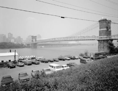
Photographed By William Gus Johnson, June 1987
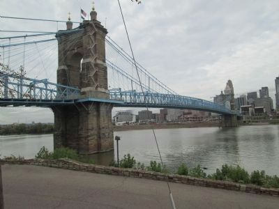
4. The Covington and Cincinnati Suspension Bridge (1987) - view from southwest
Significance: At the time of its completion this suspension bridge was the longest in the world. It remains one of the nation's foremost suspension bridges.- Historic American Buildings Survey
Credits. This page was last revised on June 16, 2016. It was originally submitted on May 21, 2012, by Matt Gilbertson of Medford, Massachusetts. This page has been viewed 823 times since then and 34 times this year. Photos: 1, 2, 3. submitted on May 21, 2012, by Matt Gilbertson of Medford, Massachusetts. 4. submitted on May 22, 2012. 5. submitted on November 18, 2014, by Rev. Ronald Irick of West Liberty, Ohio. • Craig Swain was the editor who published this page.
