Moweaqua in Shelby County, Illinois — The American Midwest (Great Lakes)
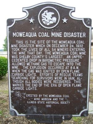
Moweaqua Coal Mine Disaster
Erected 1990 by The Moweaqua Coal Mine Museum and the Illinois State Historical Society.
Topics and series. This historical marker is listed in this topic list: Disasters. In addition, it is included in the Illinois State Historical Society series list. A significant historical month for this entry is December 1830.
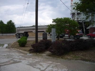
Location. 39° 37.239′ N, 89° 1.31′ W. Marker is in Moweaqua, Illinois, in Shelby County. Marker is on West Cherry Street west of South Plum Street, in the median. Marker is on the grounds of the Pogenpohl Ready-Mix Plant. Touch for map. Marker is in this post office area: Moweaqua IL 62550, United States of America. Touch for directions.
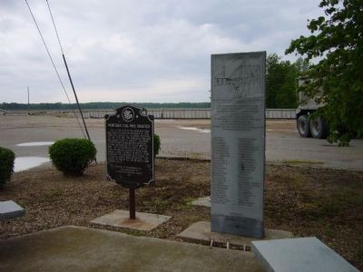
Other nearby markers. At least 7 other markers are within 14 miles of this marker, measured as the crow flies. Moweaqua Coal Mine Disaster Memorial (here, next to this marker); Lincoln's Cavalry Guard (approx. 0.3 miles away); Abraham Lincoln - Eighth Judicial District (approx. 13 miles away); First Home in Illinois of Abraham Lincoln (approx. 13.4 miles away); Whitley Mill and Dam (approx. 13.4 miles away); First Home of Abraham Lincoln in Illinois (approx. 13.4 miles away); Site of the Lincoln Cabin (approx. 13.4 miles away).
Credits. This page was last revised on August 2, 2023. It was originally submitted on May 23, 2012, by Bill Kirchner of Tucson, Arizona. This page has been viewed 1,376 times since then and 45 times this year. Photos: 1, 2, 3. submitted on May 23, 2012, by Bill Kirchner of Tucson, Arizona. • Bernard Fisher was the editor who published this page.


