South Portland in Cumberland County, Maine — The American Northeast (New England)
Shipbuilding
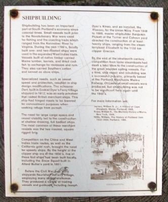
Shipbuilding has been an important part of South Portlandís economy since colonial times. Small vessels built prior to the Revolutionary War were used for fishing and the coasting trade which ranged from the Kennebec River to Virginia. During the mid-1700ís, locally built one- and two-masted ships were used in the expanded West Indies trade. Vessels built of native timber carried Maine lumber, barrels, and dried codfish to exchange for molasses and rum. They also carried Southern cotton and served as slave ships.
Specialized needs, such as vessel speed and protection, resulted in ship design modifications. The schooner Dart, built in Ezekiel Dyerís Ferry Village shipyard in 1812, was an early privateer that raided British merchant ships. This ship had hinged masts to be lowered for concealment purposes when seeking refuge from pursuit.
The need for large cargo space and vessel stability led to the construction of shallow drawing, full bodied ships. The most common of these merchant vessels was the two masted, square rigged brig.
Competition on the China and West Indies trade routes, as well as the California gold rush, brought the need for speedy ships. By the height of the clipper ship era of the 1850ís, five of these fast ships had been built locally, including the Snow Squall built in Alford Butlerís yard in 1851.
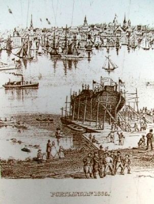
Before the Civil War, over thirty shipyards flourished in Ferry Village, employing many skilled craftsmen. They produced a variety of trading vessels and gunboats, including Joseph Dyerís Kineo, and an ironclad, the Wassac, for the Union Navy. From 1848 to 1868, master shipbuilder Benjamin Pickett of the Turner and Cahoon yard directed the construction of at least twenty ships, ranging from the steam ferryboat Elizabeth to the 1150 ton clipper Grecian.
By the end of the nineteenth century, competition from faster steamboats had dealt a fatal blow to the construction of the great wooden sailing vessels. For a time, ship repair and rebuilding was a successful industry, primarily based at the Portland Merchants Marine Railway. Occasional small vessels were produced, but shipbuilding was not to be significant here again until the 1940ís.
For more information see:
Jordan, William B. Jr., A History of Cape Elizabeth, Maine, Portland, 1965.
Rowe, William H., The Maritime History of Maine, New York, 1948.
Willis, William, The History of Portland from 1632-1864, Portland, 1865.
Topics. This historical marker is listed in these topic lists: Industry & Commerce • Settlements & Settlers • Waterways & Vessels. A significant historical year for this entry is 1812.
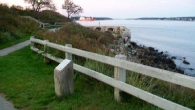
Location. 43° 38.908′ N, 70° 13.557′ W. Marker is in South Portland, Maine, in Cumberland County. Marker is along the Spring Point Shoreway Trail on the Southern Maine Community College Campus, about 150 feet east of the intersection of McKernan Drive and Bunker Lane. Touch for map. Marker is in this post office area: South Portland ME 04106, United States of America. Touch for directions.
Other nearby markers. At least 8 other markers are within walking distance of this marker. Early Settlement (a few steps from this marker); Fort Gorges (about 400 feet away, measured in a direct line); Coast Artillery Corps at Fort Preble (about 500 feet away); Coast Artillery Corps Memorial (about 500 feet away); Civilian Conservation Corps (about 600 feet away); Spring Point Ledge Light (about 600 feet away); First Congregational Church of South Portland (about 700 feet away); West Yard (approx. 0.2 miles away). Touch for a list and map of all markers in South Portland.
Credits. This page was last revised on October 29, 2020. It was originally submitted on May 26, 2012, by William Fischer, Jr. of Scranton, Pennsylvania. This page has been viewed 921 times since then and 38 times this year. Photos: 1, 2, 3. submitted on May 26, 2012, by William Fischer, Jr. of Scranton, Pennsylvania.


