Near Richmond in Henrico County, Virginia — The American South (Mid-Atlantic)
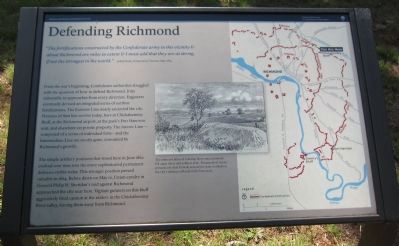
Defending Richmond
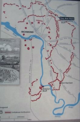
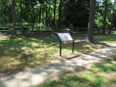
From the war's beginning, Confederate authorities struggled with the question of how to defend Richmond. It lay vulnerable to approaches from every direction. Engineers eventually devised an integrated series of earthen fortifications. The Exterior Line nearly encircled the city. Portions of that line survive today, here at Chickahominy Bluff, at the Richmond airport, at the park's Fort Harrison unit, and elsewhere on private property. The Interior Line - composed of a series of individual forts - and the Intermediate Line are mostly gone, consumed by Richmond's growth.
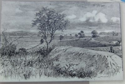
The simple artillery positions that stood here in June 1862 evolved over time into the more sophisticated permanent defenses visible today. This stronger position proved valuable in 1864. Before dawn on May 12, Union cavalry in General Philip H. Sheridan's raid against Richmond approached the city near here. Vigilant gunners on this bluff aggressively fired cannon at the raiders in the Chickahominy River valley, forcing them away from Richmond.
Erected by Richmond National Battlefield Park - National Park Service - US Department of the Interior.
Topics. This historical marker is listed in these topic lists: Forts and Castles • War, US Civil. A significant historical year for this entry is 1865.
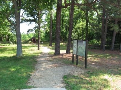
Location. 37° 35.092′ N, 77° 23.36′ W. Marker is near Richmond, Virginia, in Henrico County. Marker can be reached from Mechanicsville Turnpike (U.S. 360), on the right when traveling north. Located in the Chickahominy Bluff unit of the Richmond National Battlefield Park. Touch for map. Marker is in this post office area: Richmond VA 23223, United States of America. Touch for directions.
Other nearby markers. At least 8 other markers are within 2 miles of this marker, measured as the crow flies. Chickahominy Bluff (a few steps from this marker); Seven Days' Battles Begin (within shouting distance of this marker); Outer Fortifications (about 700 feet away, measured in a direct line); Hanover County / Henrico County (approx. half a mile away); The Chickahominy River & Seven Days' Battles (approx. half a mile away); Seven Days Battles (approx. 1.4 miles away); John Marshall's Farm (approx. 1.6 miles away); a different marker also named Seven Days’ Battles (approx. 1.6 miles away). Touch for a list and map of all markers in Richmond.
Credits. This page was last revised on June 16, 2016. It was originally submitted on May 27, 2012, by Craig Swain of Leesburg, Virginia. This page has been viewed 724 times since then and 19 times this year. Photos: 1, 2, 3, 4, 5, 6. submitted on May 27, 2012, by Craig Swain of Leesburg, Virginia.
