Near Canadian in Hemphill County, Texas — The American South (West South Central)
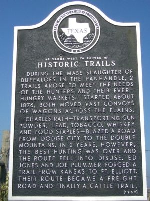
Historic Trails
58 yards west to routes of
Charles Rath—transporting gun powder, lead, tobacco, whiskey, and food staples—blazed a road from Dodge City to the Double Mountains. In 2 years, however, the best hunting was over and the route fell into disuse. Ed Jones and Joe Plummer forged a trail from Kansas to Ft. Elliott. Their route became a freight road and finally a cattle trail.
Erected 1969 by State Historical Survey Committee. (Marker Number 41.)
Topics. This historical marker is listed in this topic list: Roads & Vehicles. A significant historical year for this entry is 1876.
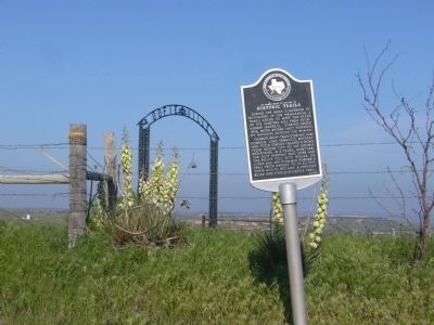
Location. 35° 49.215′ N, 100° 23.864′ W. Marker is near Canadian, Texas, in Hemphill County. Marker is on U.S. 60, one mile north of Texas Highway 33, on the right when traveling south. Touch for map. Marker is in this post office area: Canadian TX 79014, United States of America. Touch for directions.
Other nearby markers. At least 8 other markers are within 7 miles of this marker, measured as the crow flies. Route of Marcy Trail (approx. 1.4 miles away); Site of Lyman's Wagon Train Battle (approx. 4.3 miles away); Mary B. Isaacs (approx. 6.2 miles away); First Church Bell (approx. 6.4 miles away); First Baptist Church of Canadian (approx. 6.4 miles away); Jones Mansion (approx. 6.4 miles away); Hemphill County Jail (approx. 6.4 miles away); W.C.T.U. Building (approx. 6˝ miles away). Touch for a list and map of all markers in Canadian.
Credits. This page was last revised on June 16, 2016. It was originally submitted on May 28, 2012, by Bill Kirchner of Tucson, Arizona. This page has been viewed 747 times since then and 46 times this year. Photos: 1, 2. submitted on May 28, 2012, by Bill Kirchner of Tucson, Arizona. • Bernard Fisher was the editor who published this page.

