Sabetha in Nemaha County, Kansas — The American Midwest (Upper Plains)
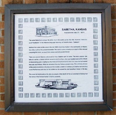
Sabetha, Kansas
Incorporated July 27, 1874
The name Sabetha is unique. No other city in the world carries this title. However, there is a word "Sabbaton" in the Hebrew language meaning, as Sabetha does, "Sabbath."
Settlers first came to this area in the mid 1800's locating mostly in the community of Albany, two miles north of the present townsite. The switch came primarily as a result of the railroad choosing this route, so most folks simply packed up and moved.
There are several theories advanced on how Sabetha got its name. The most popular one tells of a settler, a Greek scholar versed in mythical lore, who was headed west with a dream of discovering gold in California. His most prized possessions were two oxen he had named Hercules and Pelleas. When he arrived at this stie, Pelleas passed away. The untimely demise of the oxen occurred on a Sunday and the traveler, unable to continue, pitched his tent and dug a well. Performing last rites for this faithful ox, he named the site Sabetha in honor of the day.
The name he bestowed on the site as a result of the death of his ox is etched in history, but the name of the fortune hunter is lost to posterity.
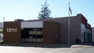
Erected by Farmers State Bank / United Bank & Trust.
Topics. This historical marker is listed in these topic lists: Exploration • Settlements & Settlers.
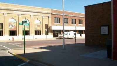
Location. 39° 54.193′ N, 95° 48.156′ W. Marker is in Sabetha, Kansas, in Nemaha County. Marker is at the intersection of Main Street and Washington Street, on the left when traveling west on Main Street. Touch for map. Marker is at or near this postal address: 935 Main Street, Sabetha KS 66534, United States of America. Touch for directions.
Other nearby markers. At least 2 other markers are within 14 miles of this marker, measured as the crow flies. The Lane Trail (approx. 1.6 miles away); First Oil Well (approx. 13.2 miles away in Nebraska).
Credits. This page was last revised on June 16, 2016. It was originally submitted on May 28, 2012, by William Fischer, Jr. of Scranton, Pennsylvania. This page has been viewed 739 times since then and 44 times this year. Photos: 1, 2, 3, 4. submitted on May 28, 2012, by William Fischer, Jr. of Scranton, Pennsylvania.


