Alta in Greenbrier County, West Virginia — The American South (Appalachia)
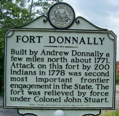
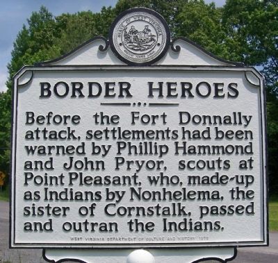
Fort Donnally / Border Heroes
Erected 1978 by West Virginia Department of Culture and History.
Topics and series. This historical marker is listed in these topic lists: Forts and Castles • Native Americans • War, French and Indian • War, US Revolutionary. In addition, it is included in the West Virginia Archives and History series list. A significant historical year for this entry is 1771.
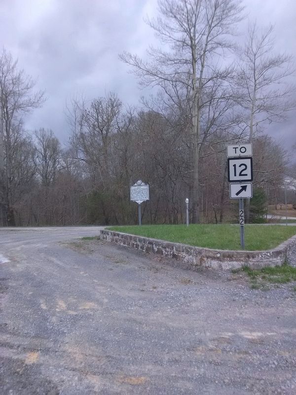
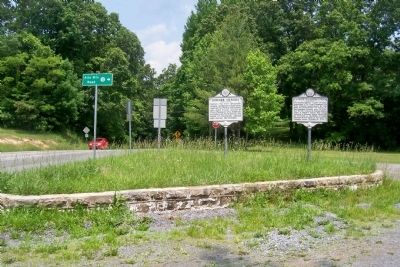
Location. Marker is missing. It was located near 37° 52.16′ N, 80° 32.587′ W. Marker was in Alta, West Virginia, in Greenbrier County. Marker was at the intersection of Midland Trail W (U.S. 60) and Old State 12/Alta Mountain Road (County Route 60/38) on Midland Trail W. Touch for map. Marker was in this post office area: Lewisburg WV 24901, United States of America. Touch for directions.
Other nearby markers. At least 8 other markers are within 6 miles of this location, measured as the crow flies. Andrew & Charles Lewis March (here, next to this marker); Maxon Sand (approx. 1.6 miles away); a different marker also named Fort Donnally / Border Heroes (approx. 2.2 miles away); Unknown Soldiers/ Gen. Lewis' Trace (approx. 3.9 miles away); Battle of Tuckwiller's Hill (approx. 5 miles away); Confederate Disenfranchisement (approx. 5 miles away); Sam Black Church (approx. 5.2 miles away); Greenbrier Ghost (approx. 5.4 miles away). Touch for a list and map of all markers in Alta.
Additional commentary.
1. sign missing
this sign is not at that location as of april 2018 post is the here but no sign
— Submitted April 17, 2018, by Roger Miller of Pulaski, Virginia.
Credits. This page was last revised on June 8, 2020. It was originally submitted on May 30, 2012, by Forest McDermott of Masontown, Pennsylvania. This page has been viewed 1,452 times since then and 50 times this year. Photos: 1, 2. submitted on May 30, 2012, by Forest McDermott of Masontown, Pennsylvania. 3. submitted on April 17, 2018, by Roger Miller of Pulaski, Virginia. 4. submitted on May 30, 2012, by Forest McDermott of Masontown, Pennsylvania. • Bill Pfingsten was the editor who published this page.


