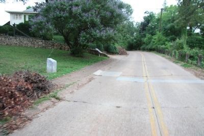
Missionary Ridge in Chattanooga in Hamilton County, Tennessee — The American South (East South Central)
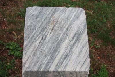
Company F 2nd Missouri Light Artillery
Light Artillery
U.S.A.
Erected 1895 by the State of Missouri. (Marker Number MT-205.)
Topics and series. This historical marker is listed in this topic list: War, US Civil. In addition, it is included in the Chickamauga and Chattanooga National Military Park, Missionary Ridge, and the Chickamauga and Chattanooga National Military Park: November 25, 1863 series lists. A significant historical date for this entry is November 25, 1863.
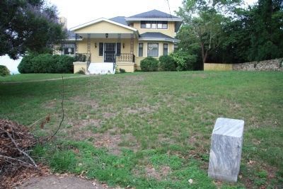
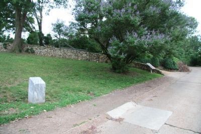
Location. 34° 59.556′ N, 85° 16.549′ W. Marker is in Chattanooga, Tennessee, in Hamilton County. It is in Missionary Ridge. Marker is on South Crest Road north of East Crest Road, on the left when traveling south. This historic marker is located near the southern end of Missionary Ridge, along its western crest, between the Bragg Reservation and the Rossville Gap. According to the location information provided by the National Park Service, “Marker is located along Missionary Ridge at 604 South Crest Rd/1934 Map 173". Touch for map. Marker is at or near this postal address: 604 South Crest Road, Chattanooga TN 37404, United States of America. Touch for directions.
Other nearby markers. At least 8 other markers are within walking distance of this marker. Clayton's Brigade (a few steps from this marker); Geary's Division (about 500 feet away, measured in a direct line); Creighton's Brigade (approx. 0.2 miles away); a different marker also named Geary's Division (approx. 0.4 miles away); Whitaker's Brigade (approx. 0.4 miles away); 99th Ohio Infantry (approx. 0.4 miles away); Grose's Brigade (approx. 0.4 miles away); Cruft's Division (approx. 0.4 miles away). Touch for a list and map of all markers in Chattanooga.
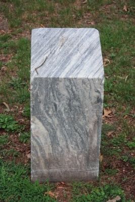
More about this marker. The historic marker is a four cornered, cut stone post, with a slightly angled, flat top, where the marker's text is inscribed into the stone's flat surface. Because the inscribed text was so weather worn, I had to contact the Chickamauga and Chattanooga National Military Park & Moccasin Bend National Archeological District of the National Park Service, and the park's historian, James H. Ogden, kindly provided me with the text written on this particular Missouri marker.
According to the description information provided by the National Park Service, the monument is, “A simple 15" x 15" x 6' marble shaft with a slanting inscribed top marking unit's position during the battle, November 25, 1863."
Credits. This page was last revised on February 7, 2023. It was originally submitted on June 6, 2012, by Dale K. Benington of Toledo, Ohio. This page has been viewed 505 times since then and 13 times this year. Photos: 1, 2, 3, 4, 5. submitted on June 6, 2012, by Dale K. Benington of Toledo, Ohio.
