West Point in Orange County, New York — The American Northeast (Mid-Atlantic)
Fort Putnam
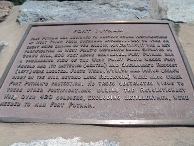
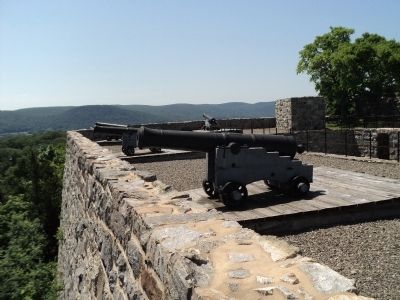
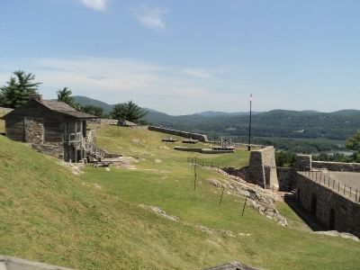
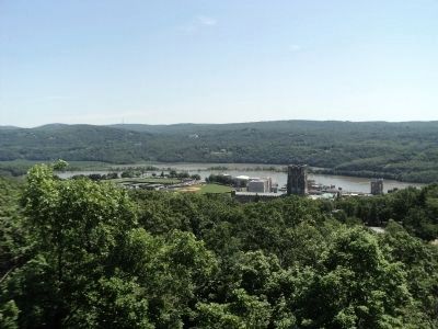
Fort Putnam was designed to protect other fortifications at West Point from overland attack . . . not to fire on enemy ships sailing up the Hudson River; thus, it was a key fortification in West Point’s defensive zone. Situated on Crown Hill, 500 feet above sea-level, Fort Putnam had a commanding view of the West Point Plain where Fort Arnold and its batteries (center) and Sherburne’s Redoubt (left) were located. Forts Webb, Wyllys and Meigs (below right on the hill beyond Lusk Reservoir) were also under Fort Putnam’s protection. No trees obstructed views to these other fortifications during the Revolutionary War. Over 420 soldiers, excluding artillerymen, were needed to man Fort Putnam.
Topics. This historical marker is listed in these topic lists: Forts and Castles • War, US Revolutionary.
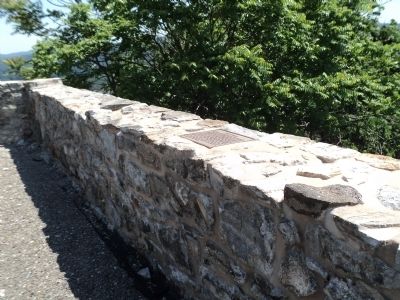
Location. 41° 23.398′ N, 73° 57.817′ W. Marker is in West Point, New York, in Orange County. Marker can be reached from Delafield Road, on the right when traveling north. Marker is located inside of Fort Putnam on the grounds of the United States Military Academy. Touch for map. Marker is in this post office area: West Point NY 10996, United States of America. Touch for directions.
Other nearby markers. At least 8 other markers are within walking distance of this marker. Cannon (here, next to this marker); Fort Arnold (here, next to this marker); Sherburne’s Redoubt (here, next to this marker); Casemates (a few steps from this marker); Artillery and Mortars (a few steps from this marker); a different marker also named Fort Putnam (a few steps from this marker); North and South Redoubts (a few steps from this marker); Archeology, 1974 (within shouting distance of this marker). Touch for a list and map of all markers in West Point.
Credits. This page was last revised on August 4, 2019. It was originally submitted on June 8, 2012, by Bill Coughlin of Woodland Park, New Jersey. This page has been viewed 627 times since then and 27 times this year. Photos: 1, 2, 3, 4, 5, 6. submitted on June 8, 2012, by Bill Coughlin of Woodland Park, New Jersey.
