Cromberg in Plumas County, California — The American West (Pacific Coastal)
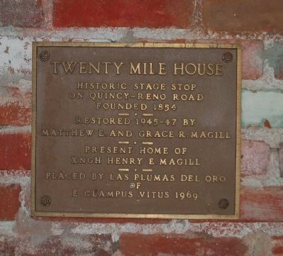
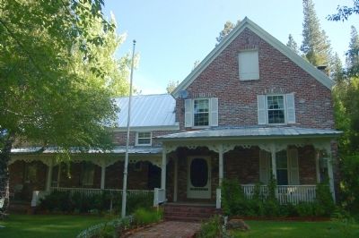
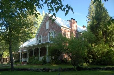
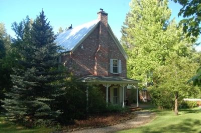
Twenty Mile House
on Quincy-Reno Road
Founded 1854
— • —
Restored 1945-47 by
Matthew E and Grace R. Magill
— • —
Present home of
XNGH Henry E. Magill
Erected 1969 by E Clampus Vitus, Las Plumas del Oro Chapter No. 8.
Topics and series. This historical marker is listed in this topic list: Notable Buildings. In addition, it is included in the E Clampus Vitus series list. A significant historical year for this entry is 1854.
Location. 39° 51.082′ N, 120° 41.669′ W. Marker is in Cromberg, California, in Plumas County. Marker can be reached from Old Cromberg (Cemetery) Road. Continue down Old Cromberg Road past the cemetery. The marker is located on front (back) of the house. Touch for map. Marker is at or near this postal address: 700 Old Cromberg Road, Blairsden-Graeagle CA 96103, United States of America. Touch for directions.
Other nearby markers. At least 8 other markers are within 6 miles of this marker, measured as the crow flies. Jackson, Ross, Tefft and Dempsey Memorial (approx. 0.6 miles away); Vardanega Spring (approx. 0.7 miles away); Sloat Mill Site (approx. 1.9 miles away); Sloat Towne Hall (approx. 2 miles away); Jamison City, Eureka Mine and Mill, Johnstown (approx. 5.4 miles away); Spring Garden (approx. 5.7 miles away); Longboard Ski Races (approx. 5.9 miles away); a different marker also named Jamison City, Eureka Mine and Mill, Johnstown (approx. 6.1 miles away). Touch for a list and map of all markers in Cromberg.
Credits. This page was last revised on March 30, 2021. It was originally submitted on June 15, 2012, by Barry Swackhamer of Brentwood, California. This page has been viewed 568 times since then and 19 times this year. Photos: 1, 2, 3, 4. submitted on June 15, 2012, by Barry Swackhamer of Brentwood, California. • Syd Whittle was the editor who published this page.


