Near Quincy in Plumas County, California — The American West (Pacific Coastal)
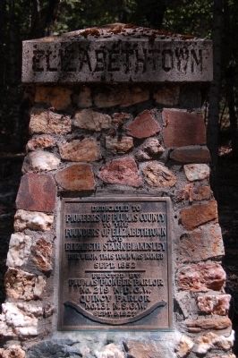
Elizabethtown
Pioneers of Plumas County
To the
Founders of Elizabethtown
and
Elizabeth Stark Blakesley
for whom this town was named
Sept. 1852
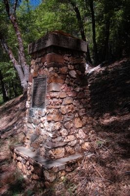
Erected 1927 by Native Daughters of the Golden West, Plumas Pioneer Parlor No. 219; Native Sons of the Golden West, Quincy Parlor No. 131. (Marker Number 231.)
Topics and series. This historical marker is listed in this topic list: Settlements & Settlers. In addition, it is included in the California Historical Landmarks, and the Native Sons/Daughters of the Golden West series lists. A significant historical month for this entry is September 1852.
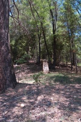
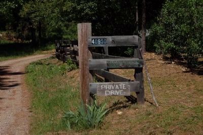
Location. 39° 57.83′ N, 120° 57.425′ W. Marker is near Quincy, California, in Plumas County. Marker can be reached from Purdy Lane. This marker is on private property. Follow Purdy Lane to the turnaround at the end and park. Take the walking trail as directed. Touch for map. Marker is at or near this postal address: 40950 Purdy Lane, Quincy CA 95971, United States of America. Touch for directions.
Other nearby markers. At least 8 other markers are within 2 miles of this marker, measured as the crow flies. Feather Publishing Co. (approx. 1.9 miles away); Forest Stationers (approx. 1.9 miles away); Bear Dance (approx. 1.9 miles away); Plumas County Veterans Memorial (approx. 1.9 miles away); Plumas Club (approx. 1.9 miles away); World War Memorial (approx. 2 miles away); Arthur W. Keddie (approx. 2 miles away); American Ranch and Hotel (approx. 2 miles away). Touch for a list and map of all markers in Quincy.
More about this marker. Tate's Ravine was named in the spring of 1852, when Alex and Frank Tate discovered gold there. Lewis Stark and his family came across the plains to settle here in September 1852. A very rich mine was opened up and the place grew in population. Soon the miners wanted a new name for the settlement, so they called it Elizabethtown in honor of Stark's daughter, the village's only unmarried woman.
From the California Office of Historic Preservation.
Also see . . . Elizabethtown - Wikipedia. Elizabethtown, California was a California Gold Rush town that began in 1852 in Plumas County, California. It was named after the only unmarried woman in the miners camp called Elizabeth Stark Blakesley. (Submitted on June 20, 2012, by Barry Swackhamer of Brentwood, California.)
Credits. This page was last revised on December 11, 2019. It was originally submitted on June 20, 2012, by Barry Swackhamer of Brentwood, California. This page has been viewed 572 times since then and 13 times this year. Last updated on December 11, 2019, by Craig Baker of Sylmar, California. Photos: 1, 2, 3, 4. submitted on June 20, 2012, by Barry Swackhamer of Brentwood, California. • J. Makali Bruton was the editor who published this page.


