Lexington Park in St. Mary's County, Maryland — The American Northeast (Mid-Atlantic)
Architectural Significance of the First Lexington Park Community
Inscription.
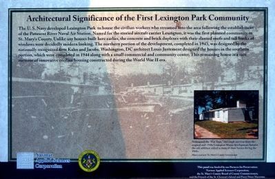
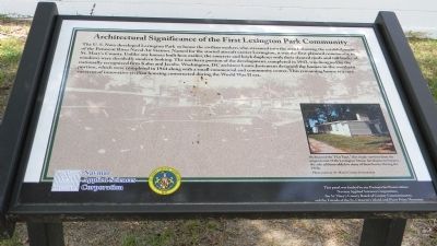
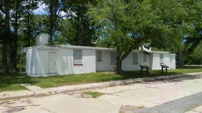
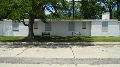
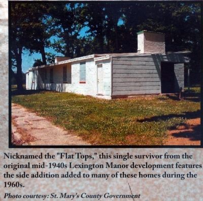
The U.S. Navy developed Lexington Park to house the civilian workers who streamed into the area following the establishment of the Patuxent River Naval Air Station. Named for the storied carrier Lexington, it was the first planned community in St. Mary’s County. Unlike any houses built here earlier, the concrete and brick duplexes with their slanted roofs and tall banks of windows were decidedly modern looking. The northern portion of the development, completed in 1943, was designed by the nationally recognized firm Kahn and Jacobs. Washington, DC architect Louis Justement designed the houses in the southern portion, which were completed in 1944 along with a small commercial and community center. This remaining house is a rare survivor of innovative civilian housing constructed during the World War II era.
Logos of: Navmar Applied Sciences Corporation and St. Mary’s County Maryland, 1637
Photo caption:
Nicknamed the “Flat Tops,” this single survivor from the original mid-1940s Lexington Manor developed features the side addition added to many of these homes during the 1960s.
Photo courtesy: St. Mary’s County Government
Navmar Applied Science Corporation;
The St. Mary’s County Board of County Commissioners;
And the Friends of the St. Clement’s Island and Piney Point Museums
Erected by Navmar Applied Science Corporation & St. Mary’s County Board of County Commissioners.
Topics. This historical marker is listed in these topic lists: Government & Politics • Notable Buildings • War, World II. A significant historical year for this entry is 1943.
Location. 38° 15.688′ N, 76° 26.899′ W. Marker is in Lexington Park, Maryland, in St. Mary's County. Marker is on Rennell Avenue, W west of S. Coral Place, on the right when traveling west. Marker is on the lawn, west of Coral Place, just outside the northeast corner of the John G. Lancaster Park which is accessible east of Willow Road. Touch for map. Marker is in this post office area: Lexington Park MD 20653, United States of America. Touch for directions.
Other nearby markers. At least 8 other markers are within walking distance of this marker. St. Mary’s County and U.S. Navy History (here, next to this marker); Navy Base Arrives (here, next to this marker); Lexington Park (here, next to this marker); The Great Depression and New Opportunities (within shouting distance of this marker); Two Worlds / One County (within shouting distance of this marker); A "War to end all Wars" (within shouting distance
of this marker); Defining Freedom and Building Community (about 300 feet away, measured in a direct line); United States Colored Troops (about 300 feet away). Touch for a list and map of all markers in Lexington Park.
Additional keywords. community development
Credits. This page was last revised on June 16, 2016. It was originally submitted on June 23, 2012, by Richard E. Miller of Oxon Hill, Maryland. This page has been viewed 1,475 times since then and 198 times this year. Photos: 1. submitted on January 21, 2013, by Allen C. Browne of Silver Spring, Maryland. 2, 3, 4. submitted on June 23, 2012, by Richard E. Miller of Oxon Hill, Maryland. 5. submitted on January 21, 2013, by Allen C. Browne of Silver Spring, Maryland. • Bill Pfingsten was the editor who published this page.
