Burlington Heights in Hamilton, Ontario — Central Canada (North America)
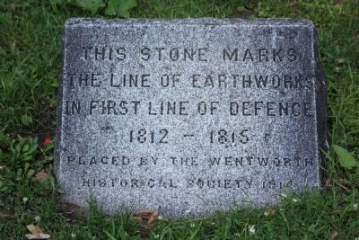
First Line of Defense
The Line of Earthworks
In First Line of Defense
1812 - 1815
Erected 1914 by Wentworth Historical Society.
Topics. This historical marker is listed in these topic lists: Forts and Castles • War of 1812. A significant historical year for this entry is 1812.
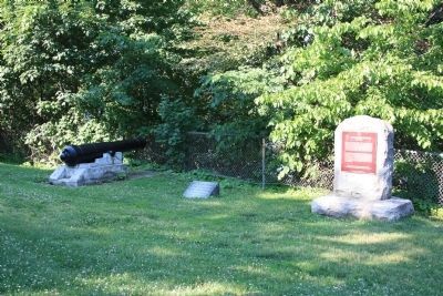
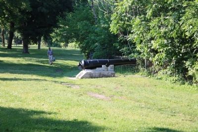
Location. 43° 16.317′ N, 79° 53.157′ W. Marker is in Burlington Heights, Ontario, in Hamilton. Marker can be reached from York Boulevard north of Dundurn Street North. The historic marker is located in Harvey Park, just west of Dundurn Castle, on the Burlington Heights of Hamilton. Touch for map. Marker is at or near this postal address: 610 York Boulevard, Burlington Heights ON L8R, Canada. Touch for directions.
Other nearby markers. At least 8 other markers are within walking distance of this marker. Burlington Heights 1813 - 1814 (here, next to this marker); March to Stoney Creek (about 150 meters away, measured in a direct line); "The Burlington Races" 1813 (about 180 meters away); Defensive Outwork (about 240 meters away); United Empire Loyalists (about 240 meters away); Sir John Harvey (approx. 0.2 kilometers away); Dundurn Castle (approx. 0.2 kilometers away); Sir Allan Napier MacNab (approx. 0.3 kilometers away). Touch for a list and map of all markers in Burlington Heights.
Also see . . . Burlington Heights National Historic Site of Canada . Parks Canada entry (Submitted on June 24, 2012, by Dale K. Benington of Toledo, Ohio.)
Credits. This page was last revised on January 24, 2022. It was originally submitted on June 24, 2012, by Dale K. Benington of Toledo, Ohio. This page has been viewed 757 times since then and 9 times this year. Photos: 1, 2, 3. submitted on June 24, 2012, by Dale K. Benington of Toledo, Ohio.


