Hammond in St. Lawrence County, New York — The American Northeast (Mid-Atlantic)
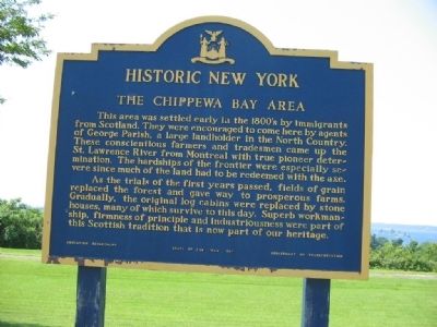
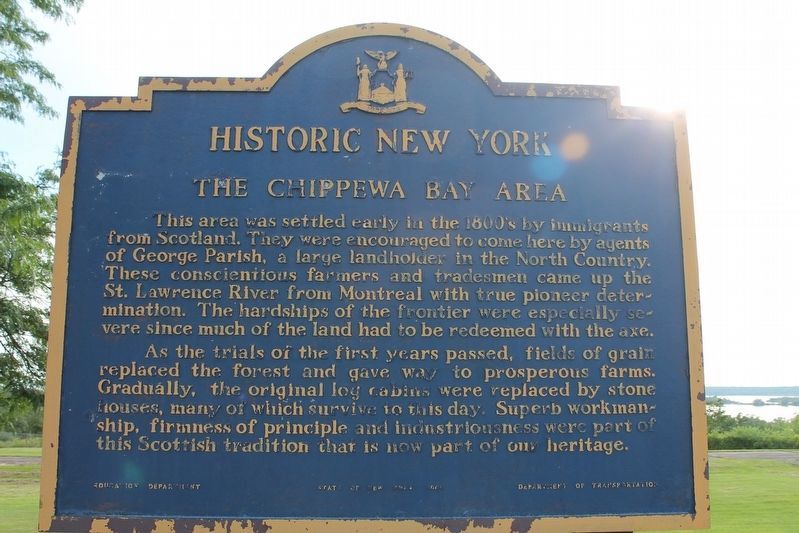
The Chippewa Bay Area
Historic New York
As the trials of the first years passed, fields of grain replaced the forest and gave way to prosperous farms. Gradually, the original log cabins were replaced by stone houses, many of which survive to this day. Superb workmanship, firmness of principle and industriousness were part of this Scottish tradition that is now part of our heritage.
Erected 1969 by New York State Education Department & Department of Transportation.
Topics and series. This historical marker is listed in this topic list: Settlements & Settlers. In addition, it is included in the Historic New York State series list.
Location. 44° 28.697′ N, 75° 46.234′ W. Marker is in Hammond, New York, in St. Lawrence County. Marker is on New York State Route 12. It is located at a rest area on Route 12 about two miles north of Chippewa Bay where there is a lovely view looking out at the Thousand Islands. Touch for map. Marker is in this post office area: Hammond NY 13646, United States of America. Touch for directions.
Other nearby markers. At least 8 other markers are within 6 kilometers of this marker, measured as the crow flies. Singer Castle on Dark Island (here, next to this marker); The Thousand Islands (here, next to this marker); War of 1812 (a few steps from this marker); Crossover Island (approx. 1.1 miles away); Oak Point (approx. 2.6 miles away); a different marker also named The Thousand Islands (approx. 3.4 miles away); Chimney Island (Bridge Island) (approx. 3˝ miles away in Canada); The Macdonald Cartier Freeway (approx. 6 kilometers away in Canada). Touch for a list and map of all markers in Hammond.
Additional keywords. Thousand Islands
Credits. This page was last revised on August 24, 2021. It was originally submitted on June 26, 2012, by Nancy Mueller of LaFayette, New York. This page has been viewed 724 times since then and 22 times this year. Last updated on August 19, 2021, by Robert Rusaw of Massena, New York. Photos: 1. submitted on June 26, 2012, by Nancy Mueller of LaFayette, New York. 2. submitted on August 19, 2021, by Robert Rusaw of Massena, New York. • Bill Pfingsten was the editor who published this page.

