Glens Falls in Warren County, New York — The American Northeast (Mid-Atlantic)
Glens Falls Area
Historic New York
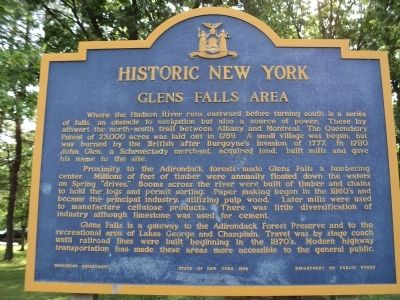
Where the Hudson River runs eastward before turning south is a series of falls, an obstacle to navigation but also a source of power. These lay athwart the north-south trail between Albany and Montreal. The Queensbury Patent of 23,000 acres was laid out in 1759. A small village was begun, but was burned by the British after Burgoyne’s invasion of 1777. In 1780 John Glen, a Schenectady merchant, acquired land, built mills and gave his name to the site.
Proximity to the Adirondack forests made Glens Falls a lumbering center. Millions of feet of timber were annually floated down the waters on Spring “drives.” Booms across the river were built of timber and chains to hold the logs and permit sorting. Papermaking began in the 1860’s and became the principal industry, utilizing pulp wood. Later mills were used to manufacture cellulose products. There was little diversification of industry although limestone was used for cement.
Glens Falls is a gateway to the Adirondack Forest Preserve and to the recreational area of Lake George and Champlain. Travel was by stage coach until railroad lines were built beginning in the 1870’s. Modern highway transportation has made these areas more accessible to the general public.
Erected 1966 by State of New York State Education Department, Department of Public Works.
Topics and series. This historical marker is listed in these topic lists: Colonial Era • Industry & Commerce • War, US Revolutionary. In addition, it is included in the Historic New York State series list. A significant historical year for this entry is 1759.
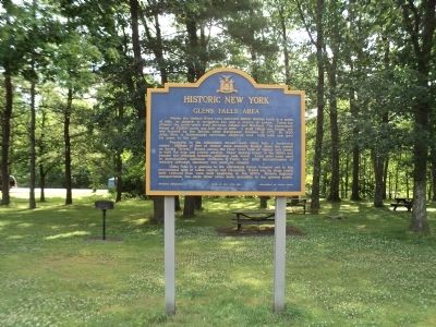
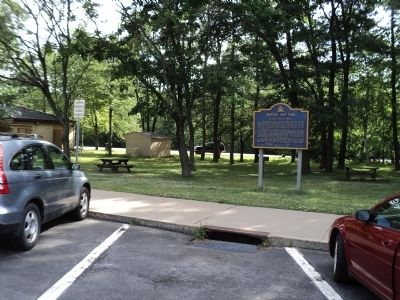
Location. 43° 16.335′ N, 73° 40.443′ W. Marker is in Glens Falls, New York, in Warren County. Marker is on Interstate 87, on the right when traveling north. Marker is located in a rest area on I-87. Touch for map. Marker is in this post office area: Glens Falls NY 12801, United States of America. Touch for directions.
Other nearby markers. At least 8 other markers are within 3 miles of this marker, measured as the crow flies. The Battles of Saratoga - 1777 (approx. 0.2 miles away); Site of the South Glens Falls Water Plant (approx. 2.3 miles away); The South Glens Falls Hydroelectric Project (approx. 2.8 miles away); Cooper’s Cave (approx. 2.9 miles away); Glens Falls and James Fenimore Cooper (approx. 2.9 miles away); The Mohican Nation – Yesterday and Today (approx. 2.9 miles away); Glens Falls/Chepontuc (approx. 2.9 miles away); The DeLong House (approx. 3 miles away). Touch for a list and map of all markers in Glens Falls.
Credits. This page was last revised on June 16, 2016. It was originally submitted on June 28, 2012, by Bill Coughlin of Woodland Park, New Jersey. This page has been viewed 663 times since then and 18 times this year. Photos: 1, 2, 3. submitted on June 28, 2012, by Bill Coughlin of Woodland Park, New Jersey.


