Lexington Park in St. Mary's County, Maryland — The American Northeast (Mid-Atlantic)
St. Mary’s County and U.S. Navy History
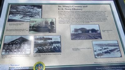
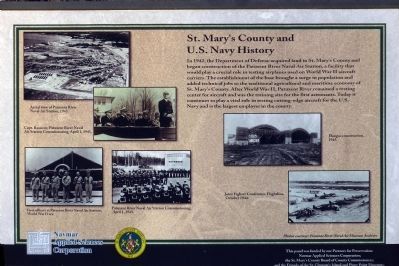
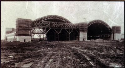
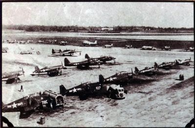
In 1942, the Department of Defense acquired land in St. Mary’s County and began construction of the Patuxent River Naval Air Station, a facility that would play a crucial role in testing airplanes used on World War II aircraft carriers. The establishment of the base brought a surge in population and added technical jobs to the traditional agricultural and maritime economy of St. Mary’s County. After World War II, Patuxent River remained a testing center for aircraft and was the training site for the first astronauts. Today it continues to play a vital role in testing cutting-edge aircraft for the U.S. Navy and is the largest employer in the county.
[Photo captions, left to right:]
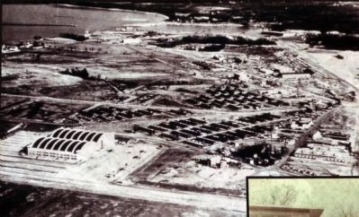
Aerial view of Patuxent River Naval Air Station, 1943.
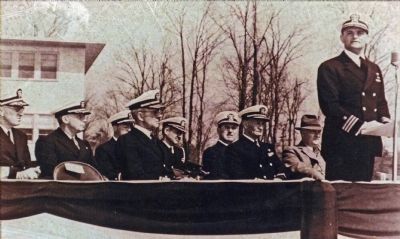
Capt. Rassieur, Patuxent River Naval Air Station Commissioning, April 1, 1943.
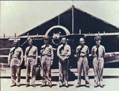
First officers at Patuxent River Naval Air Station, World War II era.
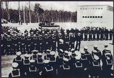
Patuxent River Naval Air Station Commissioning, April 1, 1943.
Hanger construction, 1943.
Joint Fighter Conference Flightline, October 1944.
Photos courtesy: Patuxent River Naval Air Museum Archives
Logos of: Navmar Applied Sciences Corporation and St. Mary’s County Maryland, 1637
This panel was funded by our Partners for Preservation ...
Erected by Navmar Applied Science Corporation & St. Mary’s County Board of County Commissioners.
Topics. This historical marker is listed in these topic lists: Air & Space • War, World II • Waterways & Vessels. A significant historical date for this entry is April 1, 1755.
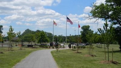
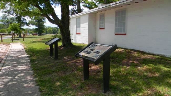
Location. 38° 15.687′ N, 76° 26.899′ W. Marker is in Lexington Park, Maryland, in St. Mary's County. Marker is on Rennell Avenue, W. west of S. Coral Drive, on the right when traveling west. Marker is on the lawn in front of the last of the naval air station's WWII-era civilian employee housing units on Rennell Avenue, West - just outside the northeast corner of the John G. Lancaster Park and the St. Mary's County USCT Memorial which are accessible to pedestrians from the marker site. Touch for map. Marker is in this post office area: Lexington Park MD 20653, United States of America. Touch for directions.
Other nearby markers. At least 8 other markers are within walking distance of this marker. Navy Base Arrives (here, next to this marker); Architectural Significance of the First Lexington Park Community (here, next to this marker); Lexington Park (here, next to this marker); The Great Depression and New Opportunities (within shouting distance of this marker); Two Worlds / One County (within shouting distance of this marker); A "War to end all Wars"
(within shouting distance of this marker); Defining Freedom and Building Community (about 300 feet away, measured in a direct line); United States Colored Troops (about 300 feet away). Touch for a list and map of all markers in Lexington Park.
Also see . . .
1. Lexington Park. The Lexington Park community takes its name from that of the aircraft carrier USS Lexington (CV-2) which was the biggest ship in the U.S. Navy when she was sunk by the Imperial Japanese Navy at the Battle of the Coral Sea in May 1942 - just as St. Mary's County was being forever transformed by the tremendous expansion of military and naval activities in the region. (Submitted on June 23, 2012, by Richard E. Miller of Oxon Hill, Maryland.)
2. Naval Air Station Patuxent River. Wikipedia entry (Submitted on June 18, 2022, by Larry Gertner of New York, New York.)
Additional keywords. USS Lexington; Pax River
Credits. This page was last revised on June 18, 2022. It was originally submitted on June 23, 2012, by Richard E. Miller of Oxon Hill, Maryland. This page has been viewed 681 times since then and 20 times this year. Last updated on June 28, 2012, by Richard E. Miller of Oxon Hill, Maryland. Photos: 1, 2, 3. submitted on June 23, 2012, by Richard E. Miller of Oxon Hill, Maryland. 4, 5, 6, 7, 8, 9, 10. submitted on January 21, 2013, by Allen C. Browne of Silver Spring, Maryland. • Bill Pfingsten was the editor who published this page.
