Lewiston in Niagara County, New York — The American Northeast (Mid-Atlantic)
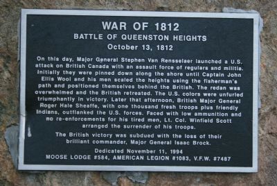
The Battle of Queenston Heights
War of 1812
— October 13, 1812 —
The British victory was subdued with the loss of their brilliant commander, Major General Isaac Brock.
Erected 1994 by Moose Lodge #584, American Legion #1083, V.F.W. #7487.
Topics. This historical marker is listed in this topic list: War of 1812.
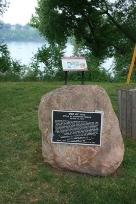
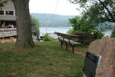
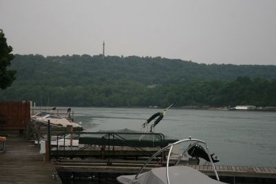
Location. 43° 10.391′ N, 79° 2.949′ W. Marker is in Lewiston, New York, in Niagara County. Marker is on Center Street west of North Water Street, on the right when traveling west. This historic marker is affixed to a large boulder, in a community park, that is located along the American shoreline of the Niagara River. It is situated along the roadway/walkway that runs down to the Niagara River. Touch for map. Marker is in this post office area: Lewiston NY 14092, United States of America. Touch for directions.
Other nearby markers. At least 8 other markers are within walking distance of this marker. A different marker also named The Battle of Queenston Heights (here, next to this marker); Freedom Crossing Monument (within shouting distance of this marker); a different marker also named Freedom Crossing Monument (within shouting distance of this marker); Barton House (approx. 0.2 miles away); Hennepin Park (approx. ¼ mile away); The Cibola Anchor (approx. 0.4 miles away); Little Yellow House - 1816 (approx. 0.4 miles away); Kiwanians Promoting Peace (approx. 0.4 miles away). Touch for a list and map of all markers in Lewiston.
Also see . . .
1. The Battle for Queenston Heights. This is a link to information provided by a War of 1812 site. (Submitted on July 2, 2012, by Dale K. Benington of Toledo, Ohio.)
2. Battle of Queenston Heights, 13 October 1812. This is a link to information provided by Wikipedia, the free encyclopedia. (Submitted on July 2, 2012, by Dale K. Benington of Toledo, Ohio.)
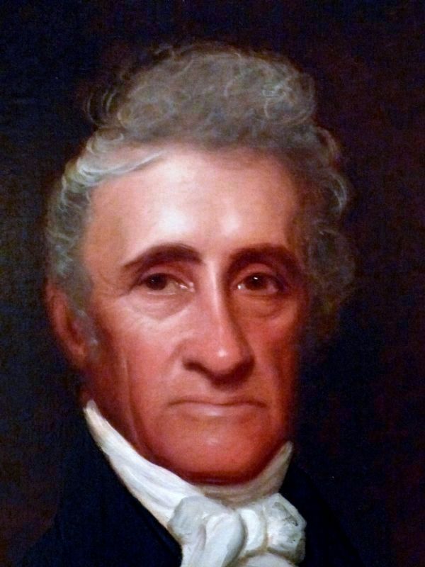
Photographed By Allen C. Browne, January 15, 2017
5. Stephen Van Rensselaer III
(1764-1839)
(1764-1839)
This c. 1825-35 portrait of Stephen Van Rensselaer III (1764-1839) by John Wesley Jarvis hangs in the National Portrait Gallery in Washington, DC.
“A scion to one of New York's richest families, Stephen Van Rensselaer was the eighth and last patroon of a vast estate between Rensselaer and Albany counties in upstate New York. At age twenty-one he inherited 1,200 square miles of land that he filled with tenant farmers, replicating a Dutch feudal pattern of land-ownership that his tenants challenged.
Van Rensselaer spent most of his career in politics, serving as lieutenant governor of New York from 1795 to 1801. During the War of 1812 he was named commander in chief of the New York militia; his military shortcomings were exposed, however, and his troops were mauled at the Battle of Queenston Heights. Humiliated, he resigned his office. Thereafter he served four congressional terms and helped found Rensselaer Polytechnic Institute in Troy, New York.
John Wesley Jarvis, the painter of this work, was one of the most prominent portraitists in New York during the early nineteenth century.” — National Portrait Gallery
Credits. This page was last revised on February 27, 2017. It was originally submitted on July 2, 2012, by Dale K. Benington of Toledo, Ohio. This page has been viewed 676 times since then and 24 times this year. Photos: 1, 2, 3, 4. submitted on July 2, 2012, by Dale K. Benington of Toledo, Ohio. 5. submitted on February 26, 2017, by Allen C. Browne of Silver Spring, Maryland.
