Black Rock in Buffalo in Erie County, New York — The American Northeast (Mid-Atlantic)
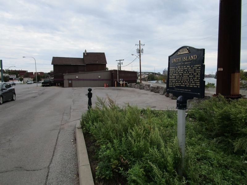
Unity Island
Inscription.
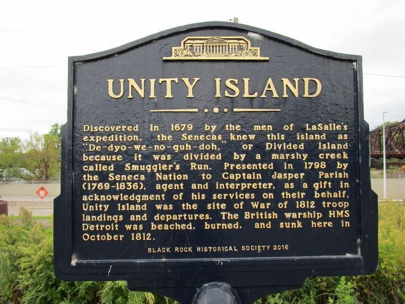
Discovered in 1679 by the men of LaSalle’s
expedition, the Senecas knew this island as
”De-dyo-no-guh-doh,” or Divided Island
because it was divided by a marshy creek
called Smuggler’s Run. Presented in 1798 by
the Seneca Nation to Captain Jasper Parish
(1769-1836), agent and interpreter, as a gift in
acknowledgement of his services on their behalf,
Unity Island was the site of the War of 1812 troop
landings and departures. The British warship HMS
Detroit was beached, burned, and sunk here in
October 1812.
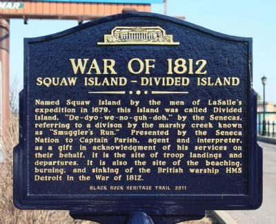
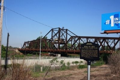
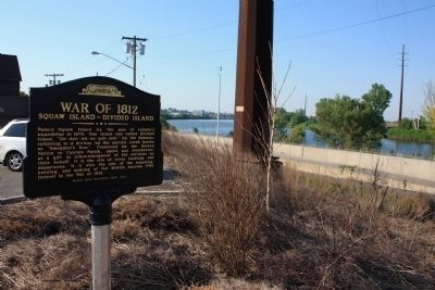
[2011 version]:
War of 1812
Squaw Island - Divided Island
Named Squaw Island by the men of LaSalle's expedition in 1679, this island was called Divided Island, "De-dyo-we-no-guh-doh," by the Senecas, referring to a division by marshy creek known as "Smuggler's Run." Presented by the Seneca Nation to Captain Parish, agent and interpreter, as a gift in acknowledgment of his services on their behalf, it is the site of troop landings and departures. It is also the site of the beaching, burning, and sinking of the British warship HMS Detroit in the War of 1812.
Erected 2016 by Black Rock Historical Society.
Topics. This historical marker is listed in these topic lists: Colonial Era • Exploration • Native Americans • War of 1812. A significant historical year for this entry is 1679.
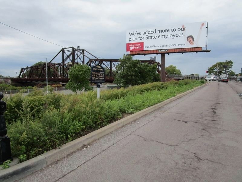
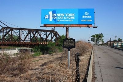
Location. This marker has been replaced by another marker nearby. 42° 55.889′ N, 78° 54.023′ W. Marker is in Buffalo, New York, in Erie County. It is in Black Rock. Marker is on Niagara Street (New York State Route 266) ¼ mile north of Tonawanda Street (New York State Route 265), on the left when traveling north. This 2016 marker exactly replaced the 2011 version of the marker. This marker is located just off of Niagara Street along the entrance to the north side of Unity Island, which is the International Railway Bridge. The marker site is just south of the railroad overpass. A single lane for vehicles to access Unity Island shares the bridge with Canadian National Railway tracks. Only trains may cross the entire bridge over the Niagara River to Canada. Canadian Pacific Railway has trackage rights. U.S. Border Patrol monitors the crossing. Touch for map. Marker is in this post office area: Buffalo NY 14207, United States of America. Touch for directions.
Other nearby markers. At least 8 other markers are within walking distance of this location. Porter Square (within shouting distance of this marker); International Railroad Bridge (about 500 feet away, measured in a direct line); Stephen W. Howell (approx. 0.2 miles away); Market Square (approx. ¼ mile away); a different marker also named Market Square (approx. ¼ mile away); Black Rock Harbor (approx. ¼ mile away); Black Rock (approx. ¼ mile away); Burning of Blackrock and Buffalo (approx. ¼ mile away). Touch for a list and map of all markers in Buffalo.
Regarding Unity Island. The name of the island was changed to Unity Island; the prior official name was offensive to Native Americans. This prompted replacement of the original marker.
Additional keywords. Squaw Island, Divided Island
Credits. This page was last revised on February 16, 2023. It was originally submitted on July 3, 2012, by Dale K. Benington of Toledo, Ohio. This page has been viewed 1,030 times since then and 129 times this year. Photos: 1. submitted on October 6, 2019, by Anton Schwarzmueller of Wilson, New York. 2. submitted on July 3, 2012, by Dale K. Benington of Toledo, Ohio. 3. submitted on October 6, 2019, by Anton Schwarzmueller of Wilson, New York. 4, 5. submitted on July 3, 2012, by Dale K. Benington of Toledo, Ohio. 6. submitted on October 6, 2019, by Anton Schwarzmueller of Wilson, New York. 7. submitted on July 4, 2012, by Dale K. Benington of Toledo, Ohio.
