New Castle in New Castle County, Delaware — The American Northeast (Mid-Atlantic)
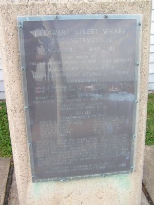
Delaware Street Wharf Reconstruction
Nov. 1982 - May 1983
Erected 1983 by Mayor and Council of New Castle, DE.
Topics. This historical marker is listed in these topic lists: Colonial Era • Industry & Commerce • Railroads & Streetcars • Waterways & Vessels. A significant historical year for this entry is 1914.
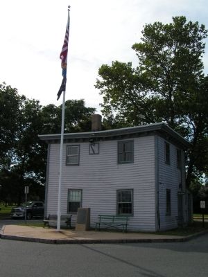
Location. 39° 39.467′ N, 75° 33.7′ W. Marker is in New Castle, Delaware, in New Castle County. Marker is at the intersection of Delaware Street and The Strand on Delaware Street. Touch for map. Marker is in this post office area: New Castle DE 19720, United States of America. Touch for directions.
Other nearby markers. At least 8 other markers are within walking distance of this marker. New Castle Harbor (within shouting distance of this marker); Crossing the Delaware (within shouting distance of this marker); New Castle and Frenchtown Railroad (within shouting distance of this marker); Landing Place of William Penn (about 400 feet away, measured in a direct line); Gunning Bedford House (about 400 feet away); a different marker also named New Castle and Frenchtown Railroad (about 400 feet away); Packet Alley (about 500 feet away); Home of George Read (about 600 feet away). Touch for a list and map of all markers in New Castle.
Credits. This page was last revised on August 17, 2020. It was originally submitted on July 4, 2012, by Nathan Davidson of Salisbury, Maryland. This page has been viewed 650 times since then and 19 times this year. Photos: 1, 2. submitted on July 4, 2012, by Nathan Davidson of Salisbury, Maryland. • Bill Pfingsten was the editor who published this page.

