Manitowoc in Manitowoc County, Wisconsin — The American Midwest (Great Lakes)
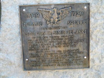
"Pulaski Square"
In Memory of Brig. Gen. Casimir Pulaski
— 1779 - 1929 —
fell mortally wounded during
the siege of Savannah, GA. Oct. 11, 1779
while leading a detachment of cavalry
in an attack upon the
British lines.
Dedicated by the Manitowoc
Poles in commemoration of the 150th
anniversary of Pulaski's death.
Zokazyi 150 letniej rocznicy
smierci Gen Kazimerza Pulaskiego.
Polacy W Manitowoc umiescili na tym
pomniku bronzowy napis dnia 13 Paz. 1929.
Erected 1929.
Topics. This historical marker is listed in these topic lists: Patriots & Patriotism • War, US Revolutionary. A significant historical year for this entry is 1779.
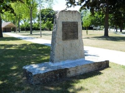
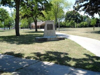
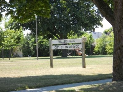
Location. 44° 4.918′ N, 87° 40.235′ W. Marker is in Manitowoc, Wisconsin, in Manitowoc County. Marker is at the intersection of South 17th Street and Columbus Street, on the right when traveling south on South 17th Street. Touch for map. Marker is at or near this postal address: 1416 S 17th St, Manitowoc WI 54220, United States of America. Touch for directions.
Other nearby markers. At least 8 other markers are within walking distance of this marker. Schreihart Building (approx. 0.7 miles away); Fricke Brewery (approx. 0.7 miles away); J. Jarchow Blacksmith Shop (approx. 0.7 miles away); J.P. Schreihart Building (approx. 0.7 miles away); Alf Muchin & Sons Furniture Store; Anderson Electric Company (approx. ¾ mile away); Manitowoc County Courthouse (approx. ¾ mile away); Grand Army of the Republic Memorial Tree (approx. ¾ mile away); American Legion Memorial Tree (approx. 0.8 miles away). Touch for a list and map of all markers in Manitowoc.
Credits. This page was last revised on June 16, 2016. It was originally submitted on July 10, 2012, by Kent Salomon of Manitowoc,, Wisconsin. This page has been viewed 537 times since then and 17 times this year. Photos: 1, 2, 3, 4. submitted on July 10, 2012, by Kent Salomon of Manitowoc,, Wisconsin. • Bernard Fisher was the editor who published this page.


