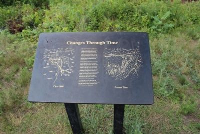
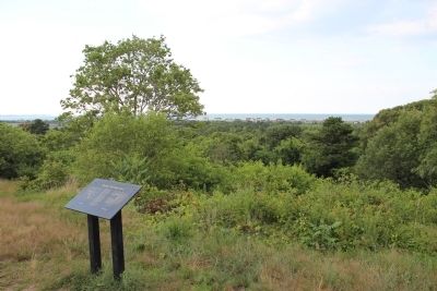
Changes Through Time
Scusset Creek which flowed westerly around Sagamore Hill into Scusset harbor was permanently altered when the Cape Cod Canal was constructed between 1909 and 1914. The eastern entrance to the Canal is now one mile southeast of the original entrance to Scusset Creek. What was once a brackish water river winding around Sagamore Hill, has been filled with dredged material from the canal construction and is now a fresh water marsh.
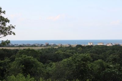
In comparing the two maps one can observe that the area where Scusset Harbor had once been is now a foredune upon which houses have been built.
Erected by U.S. Army Corps of Engineers.
Topics. This historical marker is listed in these topic lists: Environment • Native Americans • Waterways & Vessels. A significant historical year for this entry is 1909.
Location. 41° 46.85′ N, 70° 31.015′ W. Marker is in Sandwich, Massachusetts, in Barnstable County. Marker can be reached from Scusset Beach Road, on the left when traveling
Other nearby markers. At least 8 other markers are within 2 miles of this marker, measured as the crow flies. Panama Mount (within shouting distance of this marker); Ready Rooms (within shouting distance of this marker); 241st Coast Artillery (about 600 feet away, measured in a direct line); Sagamore Hill Trail (approx. 0.4 miles away); Tupper Family Homestead (approx. 0.9 miles away); Edmund Freeman Saddle & Pillion Burial Ground (approx. one mile away); Battle Of The Bulge (approx. 1.7 miles away); Sandwich Civil War Monument (approx. 1.8 miles away). Touch for a list and map of all markers in Sandwich.
Credits. This page was last revised on June 16, 2016. It was originally submitted on July 11, 2012, by Bryan Simmons of Attleboro, Massachusetts. This page has been viewed 809 times since then and 25 times this year. Photos: 1, 2, 3. submitted on July 11, 2012, by Bryan Simmons of Attleboro, Massachusetts. • Bill Pfingsten was the editor who published this page.


