Humboldt in Allen County, Kansas — The American Midwest (Upper Plains)
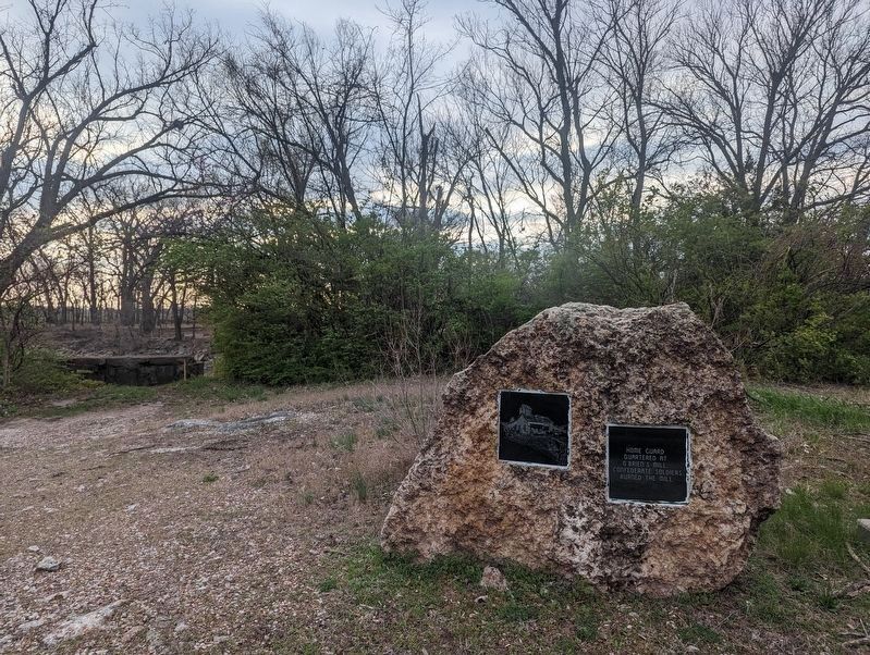
O'Brien's Mill
Topics. This memorial is listed in this topic list: War, US Civil.
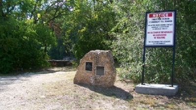
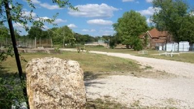
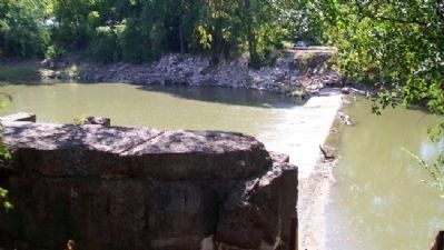
Location. 37° 48.616′ N, 95° 26.834′ W. Marker is in Humboldt, Kansas, in Allen County. Memorial is on Water Street, on the right when traveling south. Marker is 75 feet northeast of the Neosho River dam and about 300 feet south of the Bridge Street rainbow-arch bridge. Touch for map. Marker is in this post office area: Humboldt KS 66748, United States of America. Touch for directions.
Other nearby markers. At least 8 other markers are within walking distance of this marker. Humboldt Underground Railroad (approx. 0.2 miles away); Aunt Polly Crosby's Cabin Site (approx. ¼ mile away); Block House Recruiting Station (approx. 0.3 miles away); Neosho River Log Town (approx. 0.3 miles away); Kate Burnett (approx. 0.6 miles away); Abel Secrest (approx. 0.6 miles away); Colonel Orlin Thurston (approx. 0.6 miles away); J. A. Coffey (approx. 0.6 miles away). Touch for a list and map of all markers in Humboldt.
Also see . . . History of Humboldt, Kansas. City webpage (Submitted on July 14, 2012, by William Fischer, Jr. of Scranton, Pennsylvania.)
Credits. This page was last revised on April 10, 2024. It was originally submitted on July 14, 2012, by William Fischer, Jr. of Scranton, Pennsylvania. This page has been viewed 698 times since then and 34 times this year. Photos: 1. submitted on April 9, 2024, by Janet Kudell of Negaunee, Michigan. 2, 3, 4. submitted on July 14, 2012, by William Fischer, Jr. of Scranton, Pennsylvania.
Editor’s want-list for this marker. Clear, close-up photos of the markers • Can you help?


