Burbank in Los Angeles County, California — The American West (Pacific Coastal)
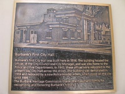
Burbank's First City Hall
The Burbank Heritage Commission thanks the Cusumano Family for recognizing Burbank's history.
Erected by The Burbank Heritage Commission & Cusumano Family.
Topics. This historical marker is listed in these topic lists: Notable Buildings • Notable Places. A significant historical year for this entry is 1916.
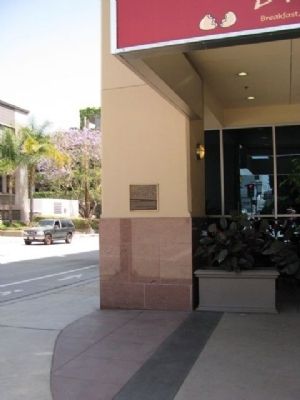
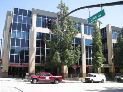
Location. 34° 10.912′ N, 118° 18.444′ W. Marker is in Burbank, California, in Los Angeles County. Marker is at the intersection of East Olive Avenue and Third Street, on the right when traveling east on East Olive Avenue. Touch for map. Marker is at or near this postal address: 250 East Olive Avenue, Burbank CA 91502, United States of America. Touch for directions.
Other nearby markers. At least 8 other markers are within 2 miles of this marker, measured as the crow flies. Burbank City Hall (within shouting distance of this marker); Story Hardware (about 500 feet away, measured in a direct line); Burbank Post Office (approx. 0.2 miles away); Compass Tree Park (approx. 0.7 miles away); F-104 Starfighter (approx. 0.9 miles away); Sunset Canyon Country Club Gate (approx. one mile away); Burbank Branch Railroad (approx. one mile away); Doctors’ House (approx. 1.7 miles away). Touch for a list and map of all markers in Burbank.
Credits. This page was last revised on January 30, 2023. It was originally submitted on July 20, 2012, by Denise Boose of Tehachapi, California. This page has been viewed 890 times since then and 30 times this year. Photos: 1, 2, 3. submitted on July 20, 2012, by Denise Boose of Tehachapi, California. • Syd Whittle was the editor who published this page.


