Ephraim in Door County, Wisconsin — The American Midwest (Great Lakes)
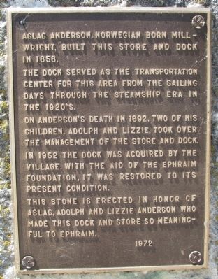
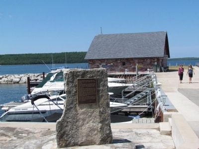
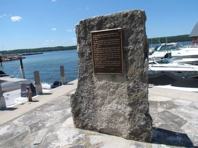
Anderson Dock
The dock served as the transportation center for this area from the sailing days through the steamship era in the 1920's.
On Anderson's death in 1892, two of his children, Adolph and Lizzie, took over the management of the store and dock. In 1952 the dock was acquired by the village. With the aid of the Ephraim Foundation, it was restored to its present condition.
This stone is erected in honor of Aslag, Adolph and Lizzie Anderson who made this dock and store so meaningful to Ephraim.
Erected 1972.
Topics. This historical marker is listed in this topic list: Notable Places. A significant historical year for this entry is 1858.
Location. 45° 9.717′ N, 87° 10.335′ W. Marker is in Ephraim, Wisconsin, in Door County. Marker can be reached from the intersection of State Highway 42 and Anderson Lane, on the right when traveling south. Touch for map. Marker is at or near this postal address: 3083 Anderson Ln, Ephraim WI 54211, United States of America. Touch for directions.
Other nearby markers. At least 8 other markers are within 2 miles of this marker, measured as the crow flies. Gibraltar District School No. 2 (approx. half a mile away); First Permanent Colony in Door County (approx. half a mile away); A Road Less Traveled (approx. 1.1 miles away); Shipwrecked! (approx. 1.3 miles away); Looking Back (approx. 1.3 miles away); Shaped by Water (approx. 1.3 miles away); Life on the Ledge (approx. 1.3 miles away); A Tough Tree (approx. 1.3 miles away). Touch for a list and map of all markers in Ephraim.
Credits. This page was last revised on August 20, 2023. It was originally submitted on July 21, 2012, by Bob (peach) Weber of Dewey, Arizona. This page has been viewed 607 times since then and 17 times this year. Photos: 1, 2, 3, 4, 5. submitted on July 21, 2012, by Bob (peach) Weber of Dewey, Arizona. 6. submitted on August 19, 2023. • Bernard Fisher was the editor who published this page.


