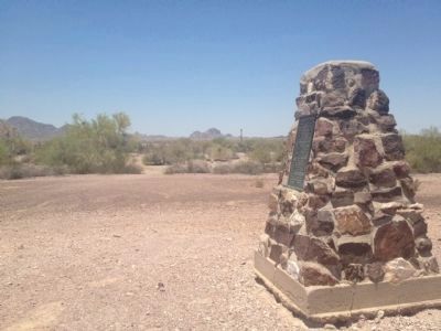
Winterhaven in Imperial County, California — The American West (Pacific Coastal)
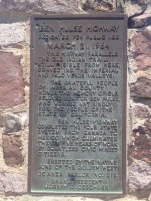
Ben Hulse Highway
Dedicated for Public Use
— March 21, 1964 —
The grateful people of Imperial County honor the memory of our beloved Senator Ben Hulse, who worked untiringly for the people of the State of California.
Ben Hulse Highway completes the four state system from Canada to Mexico which culminates twenty five years of work by countless civic minded citizens.
Erected by Native Sons of the Golden West, DeAnza Parlor No. 312, Grand President Jospeh G. Oeschger.
Topics and series. This historical marker is listed in this topic list: Roads & Vehicles. In addition, it is included in the Native Sons/Daughters of the Golden West series list.
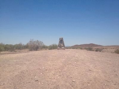
Location. 33° 9.61′ N, 114° 52.14′ W. Marker is in Winterhaven, California, in Imperial County. Marker is on Ben Hulse Highway (State Highway 78) 38 miles north of Interstate 8, on the left when traveling north. Touch for map. Marker is in this post office area: Winterhaven CA 92283, United States of America. Touch for directions.
Other nearby markers. At least 1 other marker is within 7 miles of this marker, measured as the crow flies. Pre-Columbian Indian Trail (approx. 6.8 miles away).
Credits. This page was last revised on June 16, 2016. It was originally submitted on July 21, 2012, by Dean Whittle of San Diego, California. This page has been viewed 800 times since then and 88 times this year. Photos: 1, 2, 3. submitted on July 21, 2012, by Dean Whittle of San Diego, California. • Syd Whittle was the editor who published this page.


