Cuylerville in Livingston County, New York — The American Northeast (Mid-Atlantic)
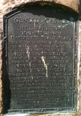
Genesee Castle
Little Beard's Town
De-O-Nun-Da-Ga-A
(Where the Hill is Near)
This principal village of the Senecas was destroyed in 1779 and was the farthest point reached by General John Sullivan and an army of four thousand men acting under direct orders of George Washington Commander-In-Chief.
This Campaign laid waste the Indian lands and so broke the offensive powers of the British-Tory-Indian Alliance against New York and Pennsylvania, extended the boundaries of the United States, revealed the fertile country of the Genesee and resulted in its early pioneer settlement.
Erected 1929 by State of New York and the Livingston County Historical Society.
Topics and series. This historical marker is listed in these topic lists: Native Americans • War, US Revolutionary. In addition, it is included in the The Sullivan-Clinton Expedition Against the Iroquois Indians series list. A significant historical year for this entry is 1779.
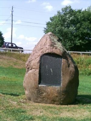
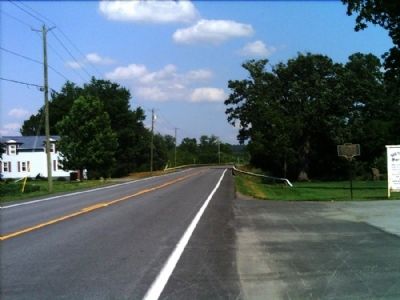
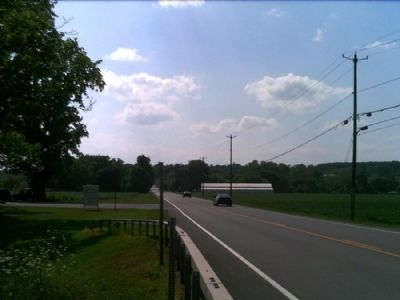
Location. 42° 46.604′ N, 77° 51.716′ W. Marker is in Cuylerville, New York, in Livingston County. Marker can be reached from Cuylerville Road (U.S. 20A) ¼ mile west of Barrett Road. This marker is on the backside (from the road) of a large boulder in the east end of Boyd-Parker Park. Touch for map . Marker is in this post office area: Leicester NY 14481, United States of America. Touch for directions.
Other nearby markers. At least 8 other markers are within walking distance of this marker. Routes of the Armies (here, next to this marker); The International Society of Arboriculture and the National Arborist Association (a few steps from this marker); Boyd – Parker (within shouting distance of this marker); Boyd & Parker Park (about 300 feet away, measured in a direct line); This wayside shrine marks the place (about 300 feet away); Cuylerville (approx. 0.4 miles away); National Hotel (approx. half a mile away); Moscow Landing (approx. one mile away). Touch for a list and map of all markers in Cuylerville.
More about this marker. There is another marker commemorating the Sullivan-Clinton Campaign in general on the front of the boulder.
Credits. This page was last revised on June 16, 2016. It was originally submitted on August 2, 2012, by Yugoboy of Rochester, New York. This page has been viewed 1,200 times since then and 72 times this year. Photos: 1, 2, 3, 4. submitted on August 2, 2012, by Yugoboy of Rochester, New York. • Bill Pfingsten was the editor who published this page.


