Fort Anne in Washington County, New York — The American Northeast (Mid-Atlantic)
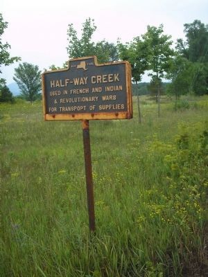
Half-Way Creek
& Revolutionary Wars
for transport of supplies.
Topics. This historical marker is listed in these topic lists: Colonial Era • Notable Places • War, French and Indian • War, US Revolutionary.
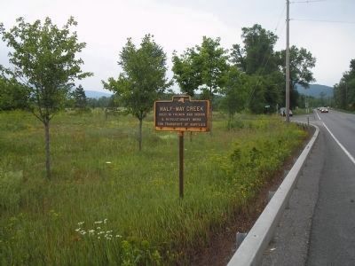
Location. 43° 25.063′ N, 73° 29.214′ W. Marker is in Fort Anne, New York, in Washington County. Marker is on Lakes to Locks Passage (U.S. 4), on the left when traveling north. Touch for map. Marker is in this post office area: Fort Ann NY 12827, United States of America. Touch for directions.
Other nearby markers. At least 8 other markers are within walking distance of this marker. Fort Anne (about 400 feet away, measured in a direct line); Old Well (about 400 feet away); Lakes to Locks Passage (about 500 feet away); Oldest House (about 500 feet away); Fort Ann Through History (about 500 feet away); a different marker also named Fort Anne (about 500 feet away); Fort Anne First Baptist Church (approx. 0.3 miles away); Fort Ann War Memorial / Henry Sartwell / Lester Archer (approx. 0.3 miles away).
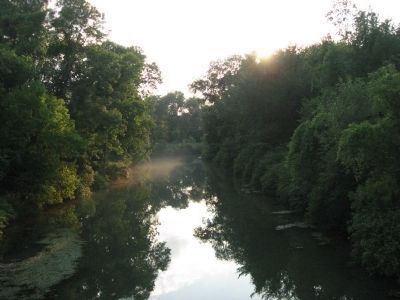
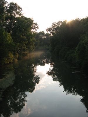
More about this marker. This marker is located next to the bridge over the creek and only a short distance from the marker for Fort Anne.
Credits. This page was last revised on June 16, 2016. It was originally submitted on July 18, 2008, by Bill Coughlin of Woodland Park, New Jersey. This page has been viewed 1,552 times since then and 25 times this year. Last updated on August 5, 2012, by Tom McGreevy of Averill Park, New York. Photos: 1. submitted on August 5, 2012, by Tom McGreevy of Averill Park, New York. 2, 3. submitted on July 18, 2008, by Bill Coughlin of Woodland Park, New Jersey. 4, 5. submitted on August 5, 2012, by Tom McGreevy of Averill Park, New York. • Kevin W. was the editor who published this page.


