Near Shingletown in Shasta County, California — The American West (Pacific Coastal)
Loomis Legacy
Lassen Volcano National Park
— National Park Service, U.S. Department of the Interior —
Photographed By Barry Swackhamer, July 13, 2012
1. Loomis Legacy Marker
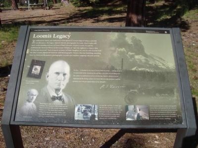
[Photo Captions; bottom left, bottom center, bottom right]
Estella Loomis
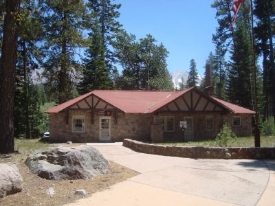
Retaining the right to live on the museum premises, the Loomises built a home and art shop here (the current ranger station behind you). They spent their summers selling photographs, assisting visitors, and enjoying the park. Mr. Loomis died in 1935 and Mrs. Loomis in 1953.
In 1929 Mr. and Mrs Loomis gave the museum to the park to serve as its primary visitor center. Still open to the public today, the building stands a monument to the Loomises’ scientific and educational contributions.
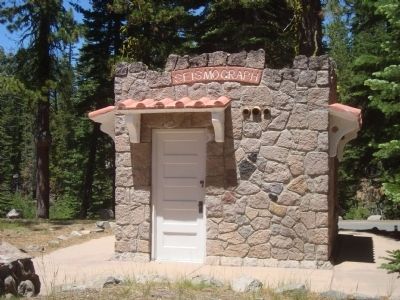
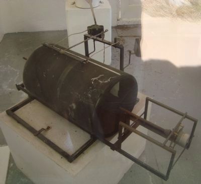
The Loomises built a small seismographic station that is still operated by the National Park Service for educational demonstrations. Today nine seismometers within the park transmit seismic activity to U.S. Geological Survey geologists who monitor the park’s ever-present volcanic rumblings.
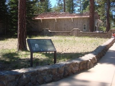
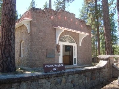
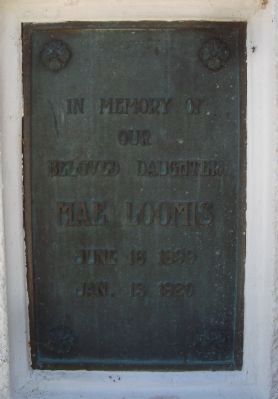
The enthusiasm, talent, and dedication of Benjamin F. Loomis helped bring a national park into existence. His legacy started with the photographs he took, which today still spark understanding and awe of Lassen Peak’s historic eruptive events. In 1926 he published the Pictorial History of the Lassen Volcano, to “give the sightseer a clearer idea of what has occurred.” And in 1927, in memory of their daughter, he and his wife Estella built the Mae Loomis Memorial Museum and Seismographic Station (the two buildings standing here) to showcase Benjamin’s photographic records and monitor ongoing volcanic activity.
In 1914...I climbed to the top of Lassen Peak six times...taking pictures...I realized that if the mountain should blow off while I was looking into...the crater, I would not be here to tell the tale. But for all that I never experienced the feeling of fear. For I was there to take pictures, and the pictures were the principal object of my thought.
B.F. Loomis
Erected by National Park Service, U.S. Department of the Interior.
Topics. This historical marker is listed in these topic lists: Education • Parks & Recreational Areas • Science & Medicine. A significant historical year for this entry is 1926.
Location. 40° 32.177′ N, 121° 33.774′ W. Marker is near Shingletown, California, in Shasta County. Marker can be reached from Lassen Peak Highway (California Route 89). This marker is located in Lassen Volcanic National Park near the Manzanita Lake Visitors Center - Loomis Museum. Touch for map. Marker is in this post office area: Shingletown CA 96088, United States of America. Touch for directions.
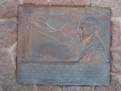
Other nearby markers. At least 8 other markers are within 4 miles of this marker, measured as the crow flies. Stephen Tyng Mather (within shouting distance of this marker); People of the Land (approx. 0.9 miles away); Historic Crossroads Gateway (approx. one mile away); Nobles Trail - Manzanita Creek (approx. 1.7 miles away); Nobles Trail – Third Nobles Pass (approx. 1.9 miles away); Nobles' Emigrant Trail (approx. 2.2 miles away); Mt. Lassen/The Noble Pass/The Park Highway (approx. 2.2 miles away); Nobles Trail - Table Mountain (approx. 3.8 miles away). Touch for a list and map of all markers in Shingletown.
Also see . . . Lassen National Park – 100 Years of Changing Landscape. Food for Thought website entry (Submitted on August 10, 2021, by Larry Gertner of New York, New York.)
Credits. This page was last revised on August 10, 2021. It was originally submitted on August 7, 2012, by Barry Swackhamer of Brentwood, California. This page has been viewed 579 times since then and 17 times this year. Photos: 1, 2, 3, 4, 5, 6, 7, 8. submitted on August 7, 2012, by Barry Swackhamer of Brentwood, California. • Syd Whittle was the editor who published this page.
