Roanoke County / Franklin County
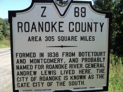
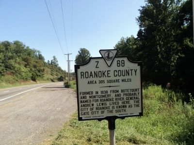
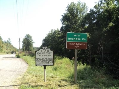
Roanoke County. Area 305 Square Miles. Formed in 1838 from Botetourt and Montgomery, and probably named for Roanoke River. General Andrew Lewis lived here. The city of Roanoke is known as the Gate City of the South.
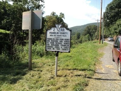
Franklin County. Area 697 Square Miles. Formed in 1785 from Henry and Bedford and added to from Patrick. Named for Benjamin Franklin. General Jubal A. Early lived in this county.
Erected 1949 by Virginia Conservation Commission. (Marker Number Z-69.)
Topics and series. This historical marker is listed in this topic list: Political Subdivisions. In addition, it is included in the Virginia Department of Historic Resources (DHR) series list. A significant historical year for this entry is 1838.
Location. 37° 8.373′ N, 79° 58.339′ W. Marker is in Boones Mill, Virginia, in Franklin County. Marker is on U.S. 220 north of Naff Road (Virginia Route 613), on the right when traveling north. Touch for map. Marker is in this post office area: Boones Mill VA 24065, United States of America. Touch for directions.
Other nearby markers. At least 8 other markers are within 8 miles of this marker, measured as the crow flies. Jubal Early Homeplace (approx. 5 miles away); Jubal A. Early Homeplace (approx. 5 miles away); Birthplace of General Jubal Early (approx. 5.7 miles away); Roanoke
Credits. This page was last revised on July 7, 2021. It was originally submitted on August 13, 2012, by Bill Coughlin of Woodland Park, New Jersey. This page has been viewed 477 times since then and 16 times this year. Photos: 1, 2, 3, 4, 5. submitted on August 13, 2012, by Bill Coughlin of Woodland Park, New Jersey.


