Near Bolivar in Jefferson County, West Virginia — The American South (Appalachia)
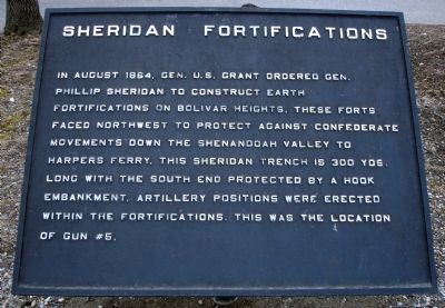
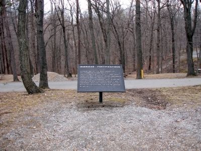
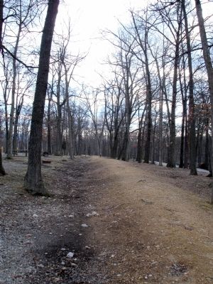
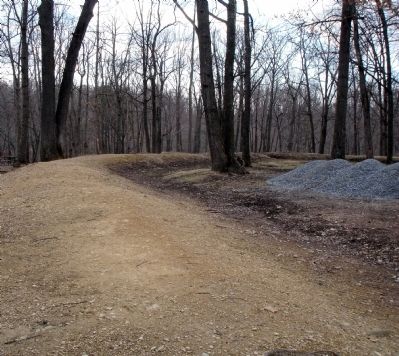
Sheridan Fortifications
Topics and series. This historical marker is listed in this topic list: War, US Civil. In addition, it is included in the Former U.S. Presidents: #18 Ulysses S. Grant series list. A significant historical year for this entry is 1864.
Location. 39° 18.865′ N, 77° 45.893′ W. Marker is near Bolivar, West Virginia, in Jefferson County. Marker can be reached from Campground Road. Marker is located in the Harpers Ferry KOA Campground. Touch for map. Marker is at or near this postal address: 343 Campground Road, Harpers Ferry WV 25425, United States of America. Touch for directions.
Other nearby markers. At least 8 other markers are within walking distance of this marker. Area History (a few steps from this marker); First Major Action (about 400 feet away, measured in a direct line); The Abatis (about 500 feet away); Infantry Positions (about 500 feet away); Gun Position #6 (approx. 0.2 miles away); From Civil War to Civil Rights / Battle of Harpers Ferry (approx. ¼ mile away); Home Becomes Battlefield (approx. ¼ mile away); The Fate of Harpers Ferry was sealed. (approx. 0.3 miles away). Touch for a list and map of all markers in Bolivar.
Credits. This page was last revised on July 6, 2020. It was originally submitted on March 1, 2008. This page has been viewed 1,102 times since then and 12 times this year. Photos: 1, 2, 3, 4. submitted on March 1, 2008. • Craig Swain was the editor who published this page.


