Mercersburg in Franklin County, Pennsylvania — The American Northeast (Mid-Atlantic)
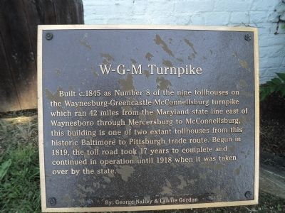
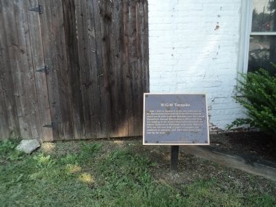
W-G-M Turnpike
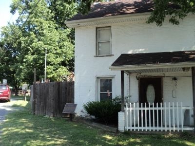
Built c. 1845 as Number 8 of the nine tollhouses on the Waynesburg-Greencastle-McConnellsburg turnpike which ran 2 miles from the Maryland state line east of Waynesboro through Mercersburg to McConnellsburg, this building is one of two extant tollhouses from this historic Baltimore to Pittsburgh trade route. Begun in 1819, the toll road took 17 years to complete and continued in operation until 1918 when it was taken over by the state.
Topics. This historical marker is listed in this topic list: Roads & Vehicles. A significant historical year for this entry is 1845.
Location. 39° 50.063′ N, 77° 54.247′ W. Marker is in Mercersburg, Pennsylvania, in Franklin County. Marker is on N Main St / Buchanan Trail (Pennsylvania Route 16) north of Fort Loudon Road (Pennsylvania Route 416/75), on the right when traveling west. Touch for map. Marker is in this post office area: Mercersburg PA 17236, United States of America. Touch for directions.
Other nearby markers. At least 8 other markers are within walking distance of this marker. Steiger House at Mercersburg (approx. ¼ mile away); Stuart's Headquarters (approx. ¼ mile away); William Findlay (approx. 0.3 miles away); a different marker also named William Findlay (approx. 0.3 miles away); Lot No. 26 (approx. 0.3 miles away); Lot 32 (approx. 0.4 miles away); Captain Robert Parker House (approx. 0.4 miles away); President Buchanan’s Home (approx. 0.4 miles away). Touch for a list and map of all markers in Mercersburg.
Credits. This page was last revised on June 16, 2016. It was originally submitted on August 23, 2012, by Bill Coughlin of Woodland Park, New Jersey. This page has been viewed 496 times since then and 28 times this year. Photos: 1, 2, 3. submitted on August 23, 2012, by Bill Coughlin of Woodland Park, New Jersey.


