Gainesville in Prince William County, Virginia — The American South (Mid-Atlantic)
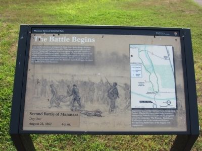
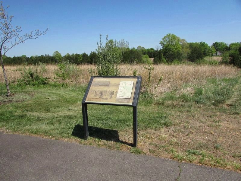
The Battle Begins
Second Battle of Manassas
— Day One - August 28, 1862 - 6 p.m. —
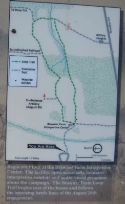
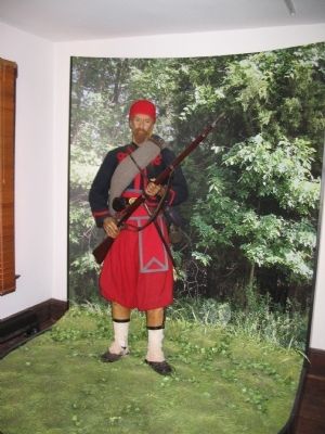
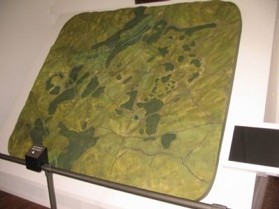
Begin your tour at the Brawner Farm Interpretive Center. The facility, open seasonally, contains interpretive exhibits and audio-visual programs about the campaign. The Brawner Farm Loop Trail begins east of the house and follows the opposing battle lines of the August 28th engagement.
Erected by Manassas National Battlefield Park - National Park Service - Department of the Interior.
Topics. This historical marker is listed in this topic list: War, US Civil. A significant day of the year for for this entry is August 28.
Location. 38° 48.83′ N, 77° 34.073′ W. Marker is in Gainesville, Virginia, in Prince William County. Marker can be reached from Pageland Lane (County Route 705) 0.6 miles north of Lee Highway (U.S. 29), on the right when traveling north. Located on the Brawner Farm Interpretive Center parking lot, Manassas National Battlefield Park. Touch for map. Marker is at or near this postal address: 6501 Pageland Ln, Gainesville VA 20155, United States of America. Touch for directions.
Other nearby markers. At least 8 other markers are within walking distance of this marker. Archeology at Brawner Farm (about 700 feet away, measured in a direct line); Jackson Strikes (approx. 0.2 miles away); Jackson Opens Fire (approx. 0.2 miles away); 19th Indiana Infantry (approx. 0.2 miles away); A Stand Up Fight (approx. 0.2 miles away); First Brigade (approx. 0.2 miles away); 2nd Wisconsin Infantry (approx. ¼ mile away); Shooting Gallery (approx. ¼ mile away). Touch for a list and map of all markers in Gainesville.
Related markers. Click here for a list of markers that are related to this marker. Brawner Farm Trail Loop Markers.
Photographed By Craig Swain, May 4, 2008
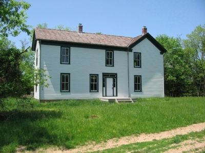
7. Brawner Farm House
Seen here when the park service was in the process of converting the structure to an interpretive center. The Brawner house, known as "Baachelor's Hall", was abandoned after the battle of Second Manassas. Archaeological surveys of the site indicate this structure is post-war. The house may have been moved to this site, using the wartime foundation. The house was enlarged in 1907.
Credits. This page was last revised on May 10, 2023. It was originally submitted on August 26, 2012, by Craig Swain of Leesburg, Virginia. This page has been viewed 746 times since then and 15 times this year. Photos: 1. submitted on August 26, 2012, by Craig Swain of Leesburg, Virginia. 2. submitted on April 29, 2023, by Bill Coughlin of Woodland Park, New Jersey. 3, 4, 5, 6, 7. submitted on August 26, 2012, by Craig Swain of Leesburg, Virginia.
