Near Manassas in Prince William County, Virginia — The American South (Mid-Atlantic)
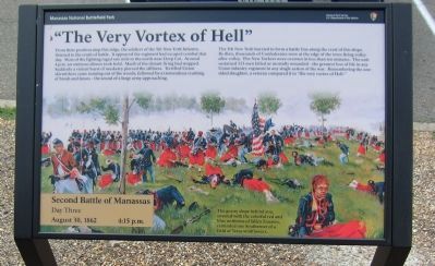
"The Very Vortex of Hell"
Second Battle of Manassas
— Day Three - August 30, 1862 - 4:15 p.m. —
The 5th New York hurried to form a battle line along the crest of this slope. By then, thousands of Confederates were at the edge of the trees firing volley after volley. The New Yorkers were overrun in less than ten minutes. The unit sustained 123 men killed or mortally wounded - the greatest loss of life in any Union infantry regiment in any single action of the war. Remembering the one-sided slaughter, a veteran compared it to "the very vortex of Hell."
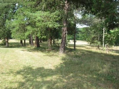
The grassy slope behind you, covered with the colorful red and blue uniforms of fallen Zouaves, reminded one Southerner of a field of Texas wildflowers.
Erected by Manassas National Battlefield Park - National Park Service - Department of the Interior.
Topics. This historical marker is listed in this topic list: War, US Civil.
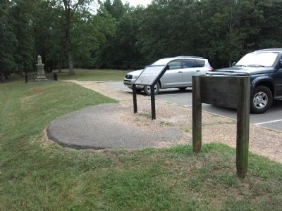
Location. 38° 48.606′ N, 77° 32.644′ W. Marker is near Manassas, Virginia, in Prince William County. Marker is at the intersection of New York Avenue and Lee Highway (U.S. 29), on the right when traveling north on New York Avenue. Touch for map. Marker is in this post office area: Manassas VA 20109, United States of America. Touch for directions.
Other nearby markers. At least 8 other markers are within walking distance of this marker. 10th New York Vol. Infantry (within shouting distance of this marker); 5th Regiment New York Volunteer Infantry (within shouting distance of this marker); Confederate Counterattack (within shouting distance of this marker); Twilight Clash (approx. ¼ mile away); Fighting in Twilight (approx. ¼ mile away); Brooklyn Fourteenth (approx. ¼ mile away); Manassas National Battlefield Park (approx. ¼ mile away); New York Monuments (approx. ¼ mile away). Touch for a list and map of all markers in Manassas.
Also see . . . One-Sided Slaughter. The older marker which this one replaced. (Submitted on August 27, 2012, by Craig Swain of Leesburg, Virginia.)
Credits. This page was last revised on May 10, 2023. It was originally submitted on August 27, 2012, by Craig Swain of Leesburg, Virginia. This page has been viewed 741 times since then and 14 times this year. Photos: 1, 2, 3. submitted on August 27, 2012, by Craig Swain of Leesburg, Virginia.


