Beaufort in Beaufort County, South Carolina — The American South (South Atlantic)
Beaufort County, South Carolina
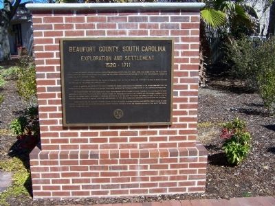
Exploration and Settlement
Inscription.
In 1520 the Spaniard, Francisco Gordillo, sailing from Hispaniola, stopped near Port Royal Sound long enough to call the place Santa Elena. Fourty-two years later, in 1562, Jean Ribaut and his French Huguenots named the region Port Royal and attempted a colony on Parris Island. It survived a year.
Alarmed by the French intrusion, the Spanish in 1566, built Fort San Phillipe which was destroyed following an Indian massacre and replaced by the larger San Marcos in 1577.
In 1586 St. Augustine was burned by the English Privateer, Sir Francis Drake, forcing the withdrawal of the Spanish from Port Royal. The Spanish maintained their claim, however, and a hundred years later destroyed the fledging Scottish Colony of Lord Cardross at Spanish Point.
The English explored Port Royal Sound in 1663 under Captain William Hilton followed by Robert Sanford in 1666. Sanford left Dr. Henry Woodward at Port Royal to establish trade with the Indians. By 1700 English planters and traders had established a foothold in the area but the Spanish threat discouraged a permanent settlement. In 1711 Beaufort was founded and named for Henry Somerset, Duke of Beaufort. Thomas Nairn of St. Helena's Island and John Barnwell of Port Royal were most responsible for establishing a new town.
Easter Sunday, 1715, the Yemassee and Creek Indians attacked and burned Beaufort, massacring many settlers. Others escaped to a ship anchored in the river. The Militia was rallied and assisted Governor Craven in driving the Yemassee into Florida, from where they raided the sea islands until 1728.
Erected 2007 by Beaufort County.
Topics. This historical marker is listed in these topic lists: Colonial Era • Exploration • Patriots & Patriotism • Wars, US Indian. A significant historical year for this entry is 1520.
Location. 32° 25.828′ N, 80° 40.384′ W. Marker is in Beaufort, South Carolina, in Beaufort County. Marker is in Henry C. Chambers Waterfront Park. Touch for map. Marker is in this post office area: Beaufort SC 29902, United States of America. Touch for directions.
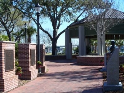
Other nearby markers. At least 8 other markers are within walking distance of this marker. A different marker also named Beaufort County, South Carolina (here, next to this marker); Thomas Heyward, Jr. (here, next to this marker); Beaufort County South Carolina (here, next to this marker); Verdier House (about 600 feet away, measured in a direct line); The Capt. Francis Saltus House (about 700 feet away); Beaufort South Carolina Tricentennial (about 700 feet away); The Sam Levin Building
(about 700 feet away); Tabernacle Baptist Church (approx. 0.2 miles away). Touch for a list and map of all markers in Beaufort.
Regarding Beaufort County, South Carolina. Carolina was divided in 1710 into South Carolina and North Carolina. The town was named for Henry Somerset, 2nd Duke of Beaufort (1684-1714), one of the Lords Proprietors of Carolina.
Credits. This page was last revised on April 13, 2021. It was originally submitted on March 2, 2008, by Mike Stroud of Bluffton, South Carolina. This page has been viewed 2,574 times since then and 29 times this year. Photos: 1, 2, 3. submitted on March 2, 2008, by Mike Stroud of Bluffton, South Carolina. • Kevin W. was the editor who published this page.


