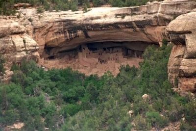
Cortez in Montezuma County, Colorado — The American Mountains (Southwest)
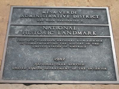
Mesa Verde Administrative District
has been designated a
National
Historic Landmark
This site possesses national significance
in commemorating the history of
the United States of America.
Erected 1987 by National Park Service, United States Department of the Interior.
Topics and series. This historical marker is listed in these topic lists: Native Americans • Notable Places. In addition, it is included in the National Historic Landmarks series list.
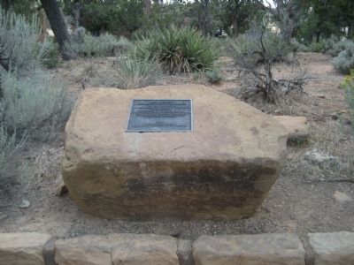
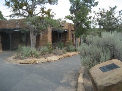
Location. 37° 11.034′ N, 108° 29.255′ W. Marker is in Cortez, Colorado, in Montezuma County. Marker can be reached from State Highway 10. Marker is located on a rock located outside the administrative offices for the park. Touch for map. Marker is in this post office area: Cortez CO 81321, United States of America. Touch for directions.
Other nearby markers. At least 8 other markers are within 2 miles of this marker, measured as the crow flies. Canyon Barriers (approx. 1.3 miles away); Fire Temple (approx. 1.4 miles away); Pithouse Life (approx. 1.4 miles away); Ties that Bind (approx. 1.4 miles away); Oak Tree House (approx. 1.4 miles away); Cliff Dwelling Life (approx. 1˝ miles away); Time of Transition (approx. 1.6 miles away); Years of Activity (approx. 1.6 miles away).
Regarding Mesa Verde Administrative District. Statement of Significance (as of designation - May 29, 1987):
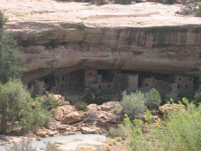
Consists of the first buildings constructed by the National Park Service (1921) based on cultural traditions represented in the Park area. The principal designer believed that structures could be used for interpretive purposes to explain the construction of prehistoric dwellings in the Park, and be compatible with their natural and cultural setting.
Credits. This page was last revised on October 29, 2020. It was originally submitted on August 30, 2012, by Jennifer W. of Las Cruces, New Mexico. This page has been viewed 619 times since then and 11 times this year. Photos: 1, 2, 3. submitted on August 30, 2012, by Jennifer W. of Las Cruces, New Mexico. 4. submitted on September 5, 2012, by Jennifer W. of Las Cruces, New Mexico. 5. submitted on September 6, 2012, by Mike Stroud of Bluffton, South Carolina. • Syd Whittle was the editor who published this page.
