Near Manassas in Prince William County, Virginia — The American South (Mid-Atlantic)
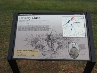
Cavalry Clash
Second Battle of Manassas
— Day Three - August 30, 1862 - 6 p.m. —
The opposing lines crashed together head-on in the nearby fields. Buford's troopers initially surprised and routed the leading Confederate regiment, only to fall back when the balance of General Beverly Robertson's brigade appeared. In danger of being cut off, the outnumbered Federals hastened across Bull Run. The Confederates broke off pursuit short of the Warrenton Turnpike. This closing action of Second Manassas represented the largest cavalry engagement of the war up to that point.
Erected 2012 by Manassas National Battlefield Park - National Park Service - Department of the Interior.
Topics. This historical marker is listed in this topic list: War, US Civil.
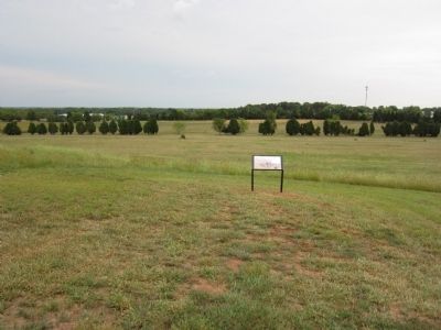
Location. 38° 48.439′ N, 77° 30.374′ W. Marker is near Manassas, Virginia, in Prince William County. Marker can be reached from Vandor Lane, on the right when traveling north. Located on a park access road to the north (a left turn) off Vandor Lane. It is also north of Interstate 66. Touch for map. Marker is in this post office area: Manassas VA 20109, United States of America. Touch for directions.
Other nearby markers. At least 8 other markers are within walking distance of this marker. Confederate Headquarters (a few steps from this marker); Portici (about 700 feet away, measured in a direct line); The Arrival of Jefferson Davis (approx. 0.3 miles away); Turning the Tide (approx. 0.8 miles away); Charge on Griffin’s Guns (approx. 0.8 miles away); 7th Georgia Regiment (approx. 0.8 miles away); Point Blank Volley (approx. 0.8 miles away); Point-Blank Volley (approx. 0.8 miles away). Touch for a list and map of all markers in Manassas.
Also see . . . Cavalry Clash. Old marker at this location. (Submitted on September 2, 2012, by Craig Swain of Leesburg, Virginia.)

Photographed By Craig Swain, September 1, 2012
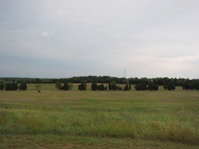
3. Site of the Cavalry Clash
Looking from near the site of Portici, to the south. I-66 runs through the treeline in the distance. Between the cell-phone tower and the treeline was a field where the initial cavalry clash occurred. Later phases of the fighting swept across the open fields to the east (left) of this view, moving towards Ball's and Lewis Fords.
Credits. This page was last revised on July 14, 2022. It was originally submitted on September 2, 2012, by Craig Swain of Leesburg, Virginia. This page has been viewed 886 times since then and 22 times this year. Photos: 1, 2, 3. submitted on September 2, 2012, by Craig Swain of Leesburg, Virginia.

