St. George in Washington County, Utah — The American Mountains (Southwest)
Bloomington
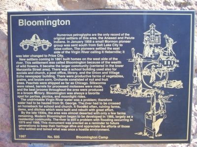
New settlers coming in 1861 built homes on the west side of the river. This settlement was called Bloomington because of the wealth of wild flowers. It became the larger community (centered in the lower Manzanita Street area). There was a school building used also for socials and church, a post office, library, and the Union and Village Echo newspaper building. There were productive farms of vegetables, grains, and broom corn. Orchards consisted of nut and fruit trees. Peaches were shipped as far as Chicago. Silkworms were raised, barrels for processed molasses were made, and the best brooms throughout the area were produced in a broom factory. Bloomington was always a favorite spot for parties, picnics, and moonlight rides.
The undrinkable Virgin River water was a problem; therefore water had to be hauled from St. George. The river had to be crossed on horseback for school and church. It flooded often, ruining farms, dams, and ditches which were built and rebuilt with great effort.
By the late 1930s, the area was almost deserted with only a few farms remaining. Modern Bloomington began to be developed in 1966, largely as a residential community. The river is still a problem with flooding occurring in 1979 and 1988. This monument was erected as a reminder to future generations to keep their heritage alive and appreciate the efforts of those who settled and tamed what was once a hostile environment.
Erected 1997 by Bloomington Camp, Daughters of Utah Pioneers. (Marker Number 505.)
Topics and series. This historical marker is listed in this topic list: Settlements & Settlers. In addition, it is included in the Daughters of Utah Pioneers series list. A significant historical month for this entry is January 1858.
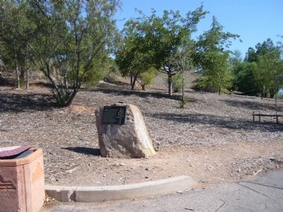
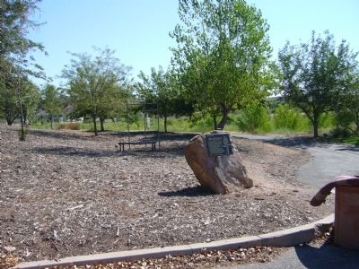
Location. 37° 3.156′ N, 113° 36.133′ W. Marker is in St. George, Utah, in Washington County. Marker is at the intersection of Man of War Road and Bloomington Drive East, on the left when traveling east on Man of War Road. Marker is in the northeast corner of the parking lot for the Virgin River Tail. Touch for map. Marker is in this post office area: Saint George UT 84790, United States of America. Touch for directions.
Other nearby markers. At least 8 other markers are within 2 miles of this marker, measured as the crow flies. Virgin River Pump Station (about 700 feet away, measured in a direct line); Utah Is Rich in Aviation History (approx. 0.9 miles away); Monument to the Flood of 2005 (approx. 1.8 miles away); The Southern Exploring Company (approx. 1.8 miles away); The Confluence of the Santa Clara and Virgin Rivers (approx. 1.9 miles away); Old Spanish Trail (approx. 1.9 miles away); Jedediah Strong Smith (approx. 1.9 miles away); Brigham Young's Vision (approx. 1.9 miles away). Touch for a list and map of all markers in St. George.
Credits. This page was last revised on June 16, 2016. It was originally submitted on September 2, 2012, by Bill Kirchner of Tucson, Arizona. This page has been viewed 540 times since then and 25 times this year. Photos: 1, 2, 3. submitted on September 2, 2012, by Bill Kirchner of Tucson, Arizona. • Syd Whittle was the editor who published this page.


