Marker Logo HMdb.org THE HISTORICAL
MARKER DATABASE
“Bite-Size Bits of Local, National, and Global History”
St. George in Washington County, Utah — The American Mountains (Southwest)
 

Utah Is Rich in Aviation History


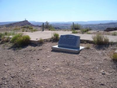
Utah Is Rich in Aviation History Marker image. Click for full size.
Photographed By Bill Kirchner, August 28, 2012
1. Utah Is Rich in Aviation History Marker
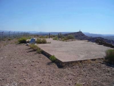
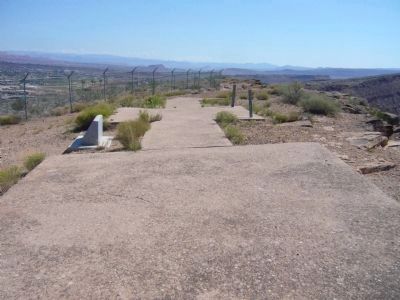
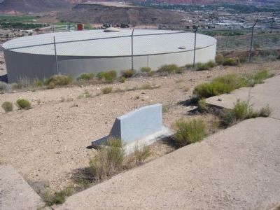
Inscription. The first regularly scheduled overland passenger flight in the USA was made by Western Air Express on May 23, 1926, from Salt Lake City to Los Angeles. This 50-foot concrete arrow was one of four here in the St. George area, placed every 10 miles, for navigation of mail and passenger planes. The steel posts held coal oil lamps to illuminate the arrows after dark.
 
Erected 2007 by Cotton Mission Chapter, Sons of Utah Pioneers. (Marker Number 130.)
 
Topics and series. This historical marker is listed in this topic list: Air & Space. In addition, it is included in the Sons of Utah Pioneers series list. A significant historical month for this entry is May 1858.
 
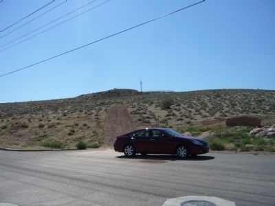
Location. 37° 3.889′ N, 113° 35.724′ W. Marker is in St. George, Utah, in Washington County. Marker can be reached from West Sir Monte Drive. Marker is on top of hill by a water tank. Park at 37* 03.997N, 113* 35.841W and walk up hill (see photo 6). Touch for map. Marker is in this post office area: Saint George UT 84770, United States of America. Touch for directions.
 
Other nearby markers. At least 8 other markers are within walking distance of this marker. Virgin River Pump Station (approx. 0.8 miles away); Bloomington (approx. 0.9 miles away); Monument to the Flood of 2005 (approx. 0.9 miles away); The Southern Exploring Company (approx. one mile away); The Confluence of the Santa Clara and Virgin Rivers
Paid Advertisement
Click on the ad for more information.
Please report objectionable advertising to the Editor.
Click or scan to see
this page online
(approx. one mile away); Old Spanish Trail (approx. one mile away); Jedediah Strong Smith (approx. one mile away); Tonaquint (approx. one mile away). Touch for a list and map of all markers in St. George.
 
Utah Is Rich in Aviation History Marker image. Click for full size.
Photographed By Bill Kirchner, August 28, 2012
2. Utah Is Rich in Aviation History Marker
Utah Is Rich in Aviation History Marker and Arrow image. Click for full size.
Photographed By Bill Kirchner, August 28, 2012
3. Utah Is Rich in Aviation History Marker and Arrow
Aircraft Navigation Marker and Concrete Arrow image. Click for full size.
Photographed By Bill Kirchner, August 28, 2012
4. Aircraft Navigation Marker and Concrete Arrow
<i>Rear of:</i> Utah is rich in aviation history Marker image. Click for full size.
Photographed By Bill Kirchner, August 28, 2012
5. Rear of: Utah is rich in aviation history Marker
West Sir Monte Drive image. Click for full size.
Photographed By Bill Kirchner, August 28, 2012
6. West Sir Monte Drive
Marker is on top of hill behind the water tank. Park here at 37* 03.997N, 113* 35.841W and walk up hill.
 
 
Credits. This page was last revised on June 16, 2016. It was originally submitted on September 2, 2012, by Bill Kirchner of Tucson, Arizona. This page has been viewed 1,043 times since then and 48 times this year. Photos:   1, 2, 3, 4, 5, 6. submitted on September 2, 2012, by Bill Kirchner of Tucson, Arizona. • Syd Whittle was the editor who published this page.

Share this page.  
Share on Tumblr
m=59016

CeraNet Cloud Computing sponsors the Historical Marker Database.
This website earns income from purchases you make after using our links to Amazon.com. We appreciate your support.
Paid Advertisement
Apr. 19, 2024