East Amwell in Hunterdon County, New Jersey — The American Northeast (Mid-Atlantic)
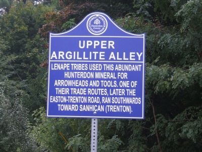
Upper Argillite Alley
Inscription.
Lenape Tribes used the abundant Hunterdon mineral for arrowheads and tools. One of their trade routes, later the Easton-Trenton Road, ran southwards toward Sanhican (Trenton).
Erected by Hunterdon County Cultural and Heritage Commission.
Topics and series. This historical marker is listed in this topic list: Native Americans. In addition, it is included in the New Jersey, Hunterdon County Cultural and Heritage Commission series list.
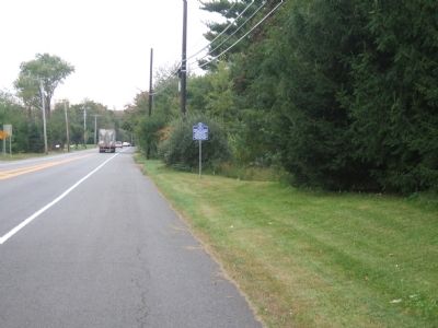
Location. 40° 23.654′ N, 74° 50.385′ W. Marker is in East Amwell, New Jersey, in Hunterdon County. Marker is on New Jersey Route 31 at milepost 13.6,, 0.4 miles east of County Route 579, on the right when traveling south. Touch for map. Marker is in this post office area: Ringoes NJ 08551, United States of America. Touch for directions.
Other nearby markers. At least 8 other markers are within 3 miles of this marker, measured as the crow flies. Linvale Methodist Episcopal Church (approx. 0.2 miles away); New Market Historic District (approx. 0.2 miles away); Trenton Road (approx. 1.6 miles away); Old Rocks Church (approx. 2.4 miles away); Bellis - Durham - Totten Farm (approx. 2˝ miles away); East Amwell Veterans (approx. 2.6 miles away); East Amwell Veterans Honor Roll (approx. 2.7 miles away); Old York Road (approx. 2.7 miles away).
Credits. This page was last revised on June 16, 2016. It was originally submitted on September 11, 2012, by John Ben Urban of Middletown, Delaware. This page has been viewed 1,313 times since then and 63 times this year. Photos: 1, 2. submitted on October 3, 2012, by John Ben Urban of Middletown, Delaware. • Bill Pfingsten was the editor who published this page.

