Hurricane in Washington County, Utah — The American Mountains (Southwest)
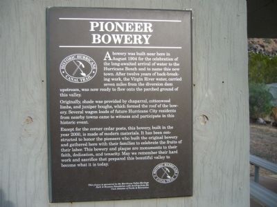
Pioneer Bowery
Originally, shade was provided by chaparral, cottonwood limbs, and juniper boughs, which formed the roof of the bowery. Several wagon loads of future Hurricane City residents from nearby towns came to witness and participate in this historic event.
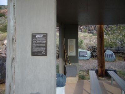
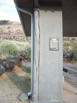
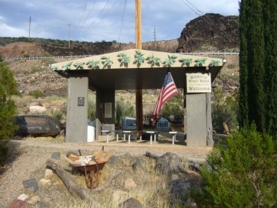
Except for the corner cedar posts, this bowery, built in the year 2000, is made of modern materials. It has been constructed to honor the pioneers who built the original bowery and gathered here with their families to celebrate the fruits of their labor. This bowery and plaque are monuments to their faith, dedication, and tenacity. May we remember their hard work and sacrifice that prepared this beautiful valley to become what it is today.
Erected by The Hurricane Valley Heritage Park & Museum Foundation with funding from the Utah Division of Parks & Recreation.
Topics. This historical marker is listed in these topic lists: Agriculture • Settlements & Settlers • Waterways & Vessels. A significant historical year for this entry is 1904.
Location. 37° 10.782′ N, 113° 16.957′ W. Marker is in Hurricane, Utah, in Washington County. Marker is on East 200 North, 0.1 miles east of North State Street, in the median. Touch for map. Marker is in this post office area: Hurricane UT 84737, United States of America. Touch for directions.
Other nearby markers. At least 8 other markers are within walking distance of this marker. Convict Camp and Wagon Road (here, next to this marker); The Historic Hurricane Canal (a few steps from this marker); Birth of Hurricane (a few steps from this marker); The Historic Dixie-Long Valley, Utah Pioneer Trail (approx. 0.3 miles away); a different marker also named The Historic Hurricane Canal (approx. 0.3 miles away); Many Came by Handcart (approx. 0.4 miles away); Historic Kolob Mountain (approx. 0.4 miles away); The Town Named After a Buggy Incident (approx. 0.4 miles away). Touch for a list and map of all markers in Hurricane.
Credits. This page was last revised on June 16, 2016. It was originally submitted on September 12, 2012, by Bill Kirchner of Tucson, Arizona. This page has been viewed 509 times since then and 14 times this year. Photos: 1, 2, 3, 4. submitted on September 12, 2012, by Bill Kirchner of Tucson, Arizona. • Bill Pfingsten was the editor who published this page.


