Mammoth Lakes in Mono County, California — The American West (Pacific Coastal)
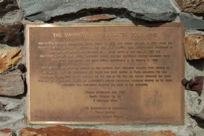
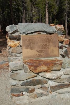
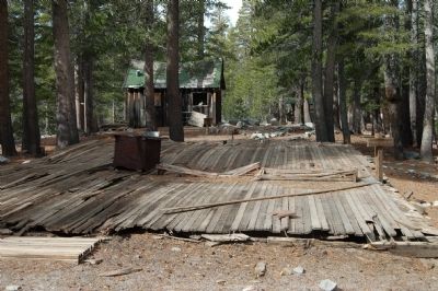
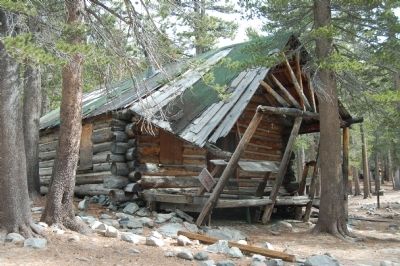
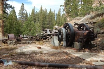
The Mammoth Consolidated Gold Mine
Arch Mahan, the principal partner in this venture, then changed careers from mining to recreation when he purchased the resort and pack station at Red Meadow. He was prominent in the local tourist industry for the rest of his life. His career followed the trend that began in the early 1900’s as Mammoth’s scenic resources replaced mining as its major attraction and recreation became the base of the economy. Plaque dedicated July 1989
Erected 1989 by E Clampus Vitus, Bodie Chapter No. 64/U.S. Department of Agriculture, Forest Service, Mammoth Range District.
Topics and series. This historical marker is listed in these topic lists: Industry & Commerce • Natural Resources. In addition, it is included in the E Clampus Vitus series list. A significant historical year for this entry is 1877.
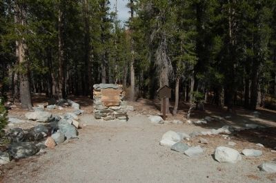
Location. 37° 35.522′ N, 118° 59.375′ W. Marker is in Mammoth Lakes, California, in Mono County. Marker is on Lake Mary Loop Road. The marker is located at the far end of the Cold Water Creek Campground, accessed from Lake Mary Loop Road. Touch for map. Marker is in this post office area: Mammoth Lakes CA 93546, United States of America. Touch for directions.
Other nearby markers. At least 8 other markers are within 5 miles of this marker, measured as the crow flies. Mammoth City (approx. 1.8 miles away); The White Fence at Old Mammoth (approx. 2 miles away); Historic Knight Wheel (approx. 2.9 miles away); Old French Trail (approx. 3.3 miles away); Margaret & Emmett Hayden Cabin (approx. 3.3 miles away); Temple of Folly (approx. 3.3 miles away); The Tavern (approx. 4 miles away); Old Mammoth Saloon (approx. 4.1 miles away). Touch for a list and map of all markers in Mammoth Lakes.
Also see . . . Mammoth Consolidated Gold Mine. Mammoth Lake website. (Submitted on December 1, 2011, by Barry Swackhamer of Brentwood, California.)
Credits. This page was last revised on September 7, 2020. It was originally submitted on December 1, 2011, by Barry Swackhamer of Brentwood, California. This page has been viewed 1,375 times since then and 51 times this year. Last updated on September 14, 2012, by Paul Fehrenbach of Germantown, Wisconsin. Photos: 1, 2, 3, 4, 5, 6, 7. submitted on December 1, 2011, by Barry Swackhamer of Brentwood, California. • Syd Whittle was the editor who published this page.
