Paragonah in Iron County, Utah — The American Mountains (Southwest)
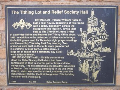
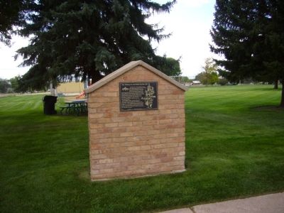
The Tithing Lot and Relief Society Hall
Relief Society Hall - On this corner once stood the Relief Society Hall which had been constructed in 1869 in another part of town and later moved here. The first Relief Society president Eliza A. Barton. Due to crowded conditions in the Old White Church, which was used for school, students used the Relief Society Hall for the first five grades. This building was later sold and moved.
Erected 1994 by Betsy Topham Camp, Daughters of Utah Pioneers. (Marker Number 475.)
Topics and series. This historical marker is listed in this topic list: Churches & Religion. In addition, it is included in the Daughters of Utah Pioneers series list. A significant historical year for this entry is 1890.
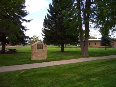
Location. 37° 53.173′ N, 112° 46.515′ W. Marker is in Paragonah, Utah, in Iron County. Marker is at the intersection of Main Street and Center Street, on the right when traveling south on Main Street. Marker is on the northwest corner. Touch for map. Marker is in this post office area: Paragonah UT 84760, United States of America. Touch for directions.
Other nearby markers. At least 8 other markers are within 5 miles of this marker, measured as the crow flies. Paragonah Town Square (within shouting distance of this marker); Paragonah Fort (within shouting distance of this marker); Alma W. Richards (approx. 4 miles away); An Original Hitching Ring (approx. 4.2 miles away); Pioneer Rock Church (approx. 4.2 miles away); Public Works (approx. 4.3 miles away); First School House and Council House in Iron County (approx. 4.3 miles away); D.U.P. Relic Hall (approx. 4.3 miles away). Touch for a list and map of all markers in Paragonah.
Credits. This page was last revised on June 16, 2016. It was originally submitted on September 19, 2012, by Bill Kirchner of Tucson, Arizona. This page has been viewed 488 times since then and 13 times this year. Photos: 1, 2, 3. submitted on September 19, 2012, by Bill Kirchner of Tucson, Arizona. • Bill Pfingsten was the editor who published this page.


