Richmond Hill in Bryan County, Georgia — The American South (South Atlantic)
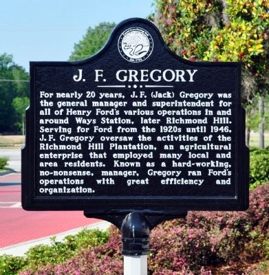
J. F. Gregory
Erected 2012 by Coastal Bryan Heritage Trail.
Topics. This historical marker is listed in these topic lists: Agriculture • Industry & Commerce. A significant historical year for this entry is 1946.
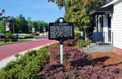
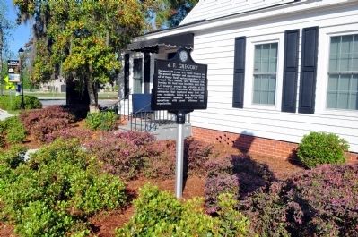
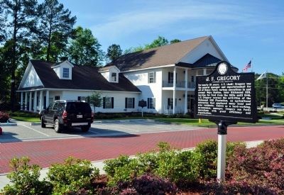
Location. 31° 56.667′ N, 81° 18.433′ W. Marker is in Richmond Hill, Georgia, in Bryan County. Marker is on Richard Davis Drive, 0 miles east of Henry Ford Avenue (Georgia Route 144), on the left when traveling east. The marker is across Richard Davis Drive from the Richmond Hill City Hall. Touch for map. Marker is at or near this postal address: 85 Richard Davis Drive, Richmond Hill GA 31324, United States of America. Touch for directions.
Other nearby markers. At least 8 other markers are within walking distance of this marker. Henry Ford at Richmond Hill (within shouting distance of this marker); Robert E. Lee (about 500 feet away, measured in a direct line); Ways Station (about 500 feet away); Jack Fleming Gregory, Senior (about 600 feet away); a different marker also named Ways Station (about 800 feet away); Richmond Hill Veterans Monument (approx. 0.2 miles away); Community House (approx. 0.2 miles away); Martha-Mary Chapel (approx. ľ mile away). Touch for a list and map of all markers in Richmond Hill.
Related marker. Click here for another marker that is related to this marker. To better understand the relationship, study each marker in the order shown.
Additional keywords. Henry Ford
Credits. This page was last revised on November 15, 2019. It was originally submitted on April 9, 2012, by David Seibert of Sandy Springs, Georgia. This page has been viewed 1,232 times since then and 147 times this year. Last updated on September 22, 2012, by David Seibert of Sandy Springs, Georgia. Photos: 1, 2, 3, 4, 5. submitted on April 9, 2012, by David Seibert of Sandy Springs, Georgia. • Craig Swain was the editor who published this page.


