Near Bloomingdale in Parke County, Indiana — The American Midwest (Great Lakes)
Underground Railroad Station
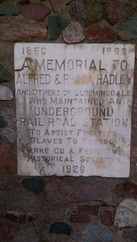
1850 — 1868
— Alfred & Rhoda Hadley —
Inscription.
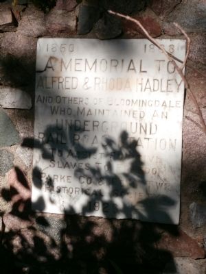
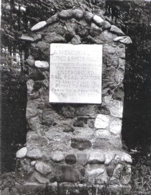
Alfred & Rhoda Hadley
and others of Bloomindale
who maintained an
Underground Railroad Station
to assist fugitive
slaves to Freedom.
Erected 1926 by Parke Co. & Penn Twp. Historical Societys.
Topics. This historical marker is listed in these topic lists: Abolition & Underground RR • War, US Civil. A significant historical year for this entry is 1850.
Location. 39° 50.311′ N, 87° 14.169′ W. Marker is near Bloomingdale, Indiana, in Parke County. Marker is on U.S. 41, 0.1 miles County Road 500N, on the left when traveling north. County Road 500N is also County Road 58 at U.S.41. This is a very difficult marker to get to and see. Can only be photographed well between Noon and 2:00 P.M. (as I learned - the hard way). Touch for map. Marker is in this post office area: Bloomingdale IN 47832, United States of America. Touch for directions.
Other nearby markers. At least 8 other markers are within 5 miles of this marker, measured as the crow flies. Dennis Hall (approx. one mile away); Winning School of Parke County Indiana (approx. 1.1 miles away); Boyhood home of J. G. "Uncle Joe" Cannon. (approx. 1.1 miles away); Jungle Park (approx. 3.3 miles away); Turkey Run (approx. 3˝ miles away); Wilkins Mill Covered Bridge (approx. 4.2 miles away); Parke County Veterans (approx. 4˝ miles away); Juliet V. Strauss (approx. 4.9 miles away). Touch for a list and map of all markers in Bloomingdale.
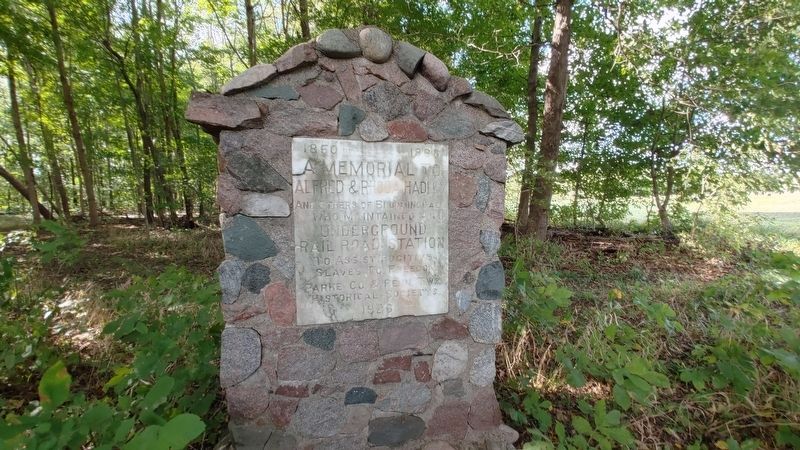
Photographed By Steven Bailey, October 16, 2021
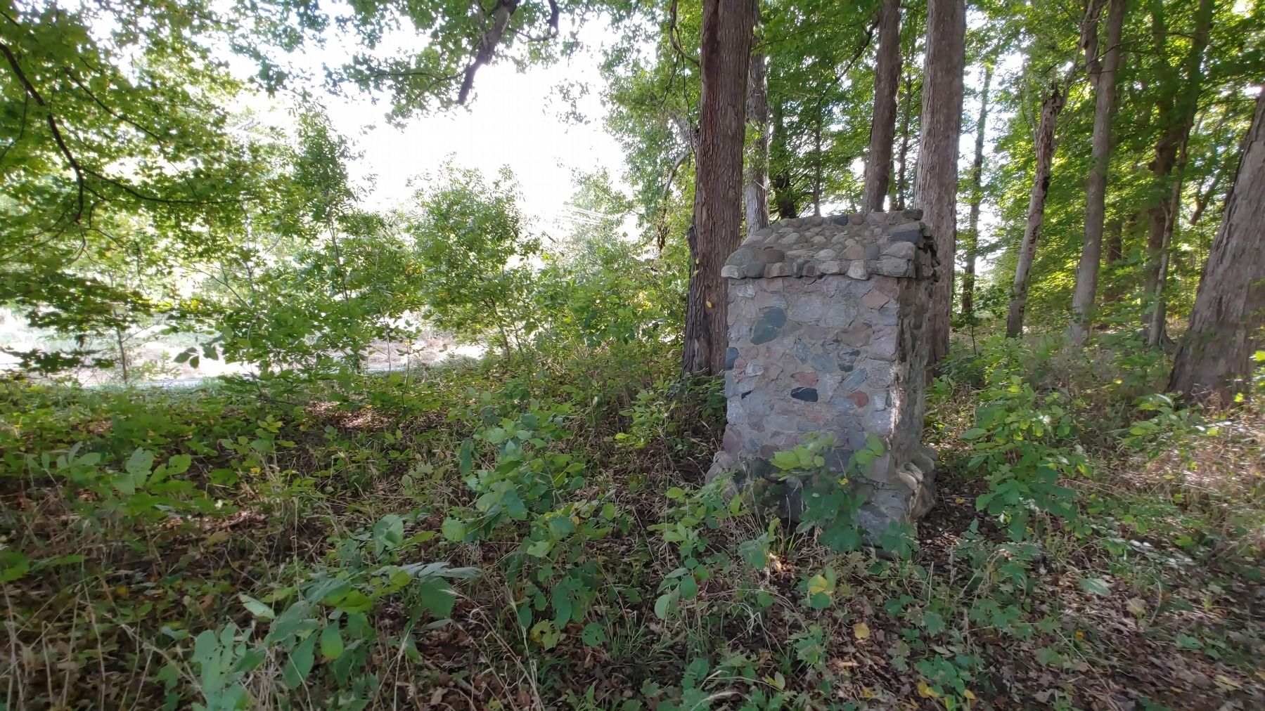
4. Underground Railroad Station Marker
Considering the location, the area is well maintained around the memorial. The best approach is from the field to the north. I found the best place to park is near the bridge. There is little room along the road to walk so be careful and watch for traffic. The sooner you can get off the road the better. It's best to visit during dry weather.
Credits. This page was last revised on February 16, 2022. It was originally submitted on September 24, 2012, by Al Wolf of Veedersburg, Indiana. This page has been viewed 1,488 times since then and 51 times this year. Photos: 1. submitted on October 6, 2019, by Dan Cheek of Franklin, Indiana. 2, 3. submitted on September 24, 2012, by Al Wolf of Veedersburg, Indiana. 4, 5. submitted on February 6, 2022, by Steven Bailey of Germantown, Wisconsin.
