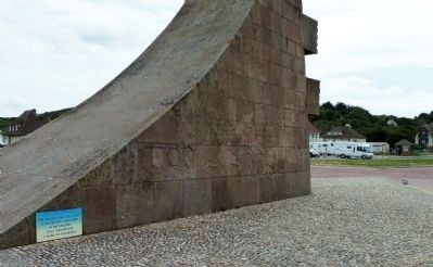
Saint-Laurent-sur-Mer in Calvados, Normandy, France — Western Europe
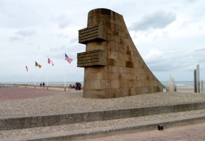
Omaha Beach
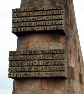
débarquent sur cette
plage qu’elle nomment
Omaha Beach et libérent
l’Europe — 6 juin 1944
landing on this
shore which they call
Omaha Beach liberate
Europe — June 6th 1944
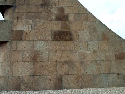
East side:
1st US Infantry Division
—No mission too difficult
—No sacrifice too great · Duty first
Forced Omaha Beach at dawn 6 June
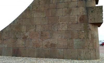
West side:
Erected in
memory of
those
—
The 116th RCT 29th
Infantry Division
AUS landed here
June 6, 1944
Topics. This historical marker is listed in this topic list: War, World II. A significant historical date for this entry is June 6, 1875.
Location. 49° 22.242′ N, 0° 52.783′ W. Marker is in Saint-Laurent-sur-Mer, Normandie (Normandy), in Calvados. Marker can be reached from the intersection of Avenue de la Libération (Route D517) and Rue Bernard Anquetil. Marker is on the beach close to where these coastal roads meet. Touch for map. Marker is in this post office area: Saint-Laurent-sur-Mer, Normandie 14710, France. Touch for directions.
Other nearby markers. At least 8 other markers are within 3 kilometers of this marker, measured as the crow flies. Les Braves - To Those Brave Men (within shouting distance of this marker); Remember Omaha (within shouting distance of this marker); Omaha Beach, haut lieu du Débarquement du 6 juin 1944 (within shouting distance of this marker); Operation Aquatint (within shouting distance of this marker);
Regarding Omaha Beach. On June 6, 1944, D-Day, Allied forces crossed the English Channel in 5,000 ships toward the coast of occupied France. This was the largest amphibious assault in the history of warfare. Troops were landed at five Normandy beaches with code names Utah, Omaha, Gold, Juno, and Sword.
It was at Omaha Beach that the most intense fighting took place. The U.S Army’s 1st and 29th Divisions, with supporting units of Rangers and Engineers, faced an array of German pillboxes and beach obstacles that kept them pinned down for hours and earned for this beach the nickname Bloody Omaha. The landings at Omaha Beach, and the eventual surge inland, are well depicted in the classic movie The Longest Day (20th Century Fox, 1962).
Also see . . . U. S. Army site. A quick overview of the D-Day landings. (Submitted on September 24, 2012, by Roger W. Sinnott of Chelmsford, Massachusetts.)
Credits. This page was last revised on September 10, 2018. It was originally submitted on September 24, 2012, by Roger W. Sinnott of Chelmsford, Massachusetts. This page has been viewed 1,119 times since then and 22 times this year. Photos: 1, 2, 3, 4, 5. submitted on September 24, 2012, by Roger W. Sinnott of Chelmsford, Massachusetts. • Bill Pfingsten was the editor who published this page.
