Tysons in Fairfax County, Virginia — The American South (Mid-Atlantic)
Freedom Hill Redoubt
Late-War Protection
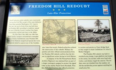
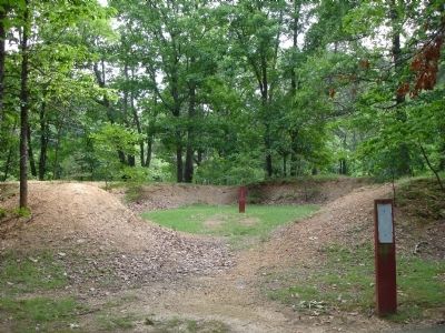
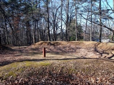
Small batteries called redoubts were constructed during the Civil War as part of the outer defensive lines that encircled Washington, D.C. Late in the war, the one in front of you was built here on Freedom Hill (according to tradition, named for one of Fairfax County’s earliest free black communities, settled near here in the 1840s).
On New Year’s Day 1865, two 13th New York Cavalry troopers encountered a concealed force of thirty Confederates near Freedom Hill. One of the Federals escaped and spread the word, but patrols failed to capture any of the Confederates. Later that month, Federal authorities ordered the construction of the redoubt. Military dispatches and other official communications from the Freedom Hill redoubt confirm the fact that the fort saw no significant action during its brief lifetime.
A company of the 5th Pennsylvania Heavy Artillery Regiment was stationed here as part of a larger contingent assigned to protect the signal tower at the nearby Peach Grove Stockade. Freedom Hill’s fortifications also offered protection to couriers and patrols on Chain Bridge Road as they sought to elude Confederate Col. John S. Mosby’s Rangers.
The Freedom Hill redoubt was built to standard army design. A gun platform was located in the center, the earthen walls were lined with timber, and ditches ringed the exterior. The soldiers were not shielded from the weather, nor did the earthworks protect against anything but small arms fire.
Erected 2012 by Virginia Civil War Trails.
Topics. This historical marker is listed in this topic list: War, US Civil. A significant historical year for this entry is 1865.
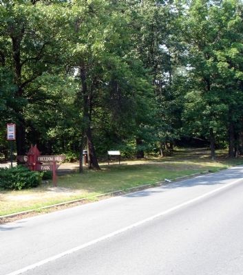
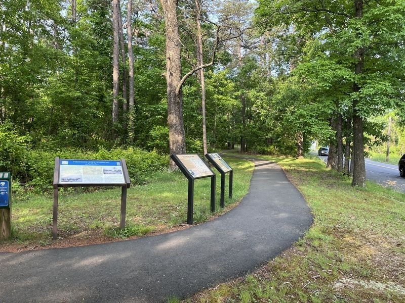
Location. Marker is missing. It was located near 38° 55.038′ N, 77° 14.48′ W. Marker was in Tysons, Virginia, in Fairfax County. Marker was on Old Courthouse Road (Virginia Route 677), on the right when traveling south. Marker is located at Freedom Hill Park. Touch for map. Marker was at or near this postal address: 200 Old Courthouse Road NE, Vienna VA 22182, United States of America. Touch for directions.
Other nearby markers. At least 8 other markers are within 2 miles of this location, measured as the crow flies. Family Strength (a few steps from this marker); A Union Spy of Color? (a few steps from this marker); Freedom Hill is a Droplet in an Ocean of History (about 300 feet away, measured in a direct line); Defending the Nation's Capital (about 400 feet away); A Tent Design Inspired by Native Americans (about 400 feet away); Outpost Life (about 400 feet away); First Court House of Fairfax County (approx. 0.2 miles away); The Great Falls Line (approx. 1.2 miles away). Touch for a list and map of all markers in Tysons.
More about this marker. On the left side of the marker is a photo captioned Heavy artillery battery drilling Courtesy Library of Congress. The middle of the marker displays a Map of northern Virginia, 1862 Courtesy Library of Congress. On the right side of the marker is a photo captioned Interior of a redoubt with cannon, resembling Freedom Hill redoubt Courtesy Library of Congress.
Also see . . .
1. Freedom Hill Fort, Present Day Tysons Corner Area. By Michael Rierson (Submitted on September 27, 2012.)
2. Freedom Hill’s Fort. From To the Sound of the Guns, Craig Swain (Submitted on September 27, 2012.)
3. Freedom Hill, Fairfax County, Virginia. (Submitted on November 18, 2012.)
Credits. This page was last revised on October 23, 2022. It was originally submitted on September 27, 2012. This page has been viewed 1,421 times since then and 34 times this year. Last updated on October 20, 2022, by James Dean of Chesterfield, Virginia. Photos: 1, 2. submitted on September 27, 2012. 3. submitted on May 20, 2022, by Devry Becker Jones of Washington, District of Columbia. 4. submitted on October 23, 2022, by James Dean of Chesterfield, Virginia. 5, 6. submitted on September 27, 2012. • Bernard Fisher was the editor who published this page.
