Southport in Brunswick County, North Carolina — The American South (South Atlantic)
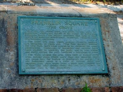
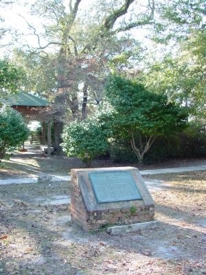
Franklin Square
“The Grove”
Th giant live oaks which canopy Franklin Square are hundreds of years old. “The Four Sisters,” behind the City Hall, have been played by children for many generations. Thousands of camellias and azaleas have been planted to beautify he park, and in late winger and early spring the park becomes a fairyland of color.
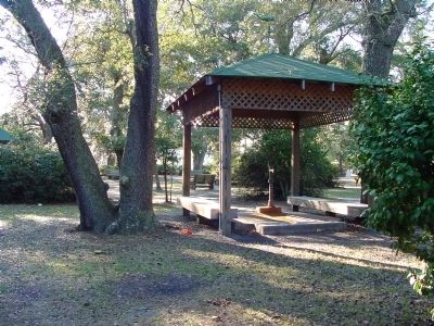
The walls around the area were built of ballast stone from sailing ships which more than one hundred years ago came into the harbor at Southport for cargo. The old fashioned pump s a relic of bygone days, and supplies cool, pure water from a deep well. Legend has it that one who drinks from this well will return for another visit to this community.
Topics. This historical marker is listed in this topic list: Horticulture & Forestry.
Location. 33° 55.217′ N, 78° 1.128′ W. Marker is in Southport, North Carolina, in Brunswick County. Marker is on North Dry Street south of E West Street. Marker can be seen from the parking lot behind City Hall. Touch for map. Marker is in this post office area: Southport NC 28461, United States of America. Touch for directions.
Other nearby markers. At least 8 other markers are within walking distance of this marker. Southport’s First Fire Alarm (within shouting distance of this marker); Robert Ruark (about 500 feet away, measured in a direct line); Old Jail (approx. 0.2 miles away); Robert C. Ruark (approx. 0.2 miles away); Railroad & Religion on Rhett Street (approx. 0.2 miles away); Smithville Burying Ground (approx. 0.2 miles away); Indian Trail Tree (approx. 0.2 miles away); Mrs. Jessie Stevens Taylor (approx. 0.2 miles away). Touch for a list and map of all markers in Southport.
Regarding Franklin Square. Benjamin Smith was Governor of North Carolina between 1810 and 1811.
Credits. This page was last revised on June 16, 2016. It was originally submitted on March 5, 2008, by J. J. Prats of Powell, Ohio. This page has been viewed 1,515 times since then and 33 times this year. Photos: 1, 2, 3. submitted on March 5, 2008, by J. J. Prats of Powell, Ohio.
Editor’s want-list for this marker. Photo of The Four Sisters • Photos of the park in bloom • Can you help?


